In terms of something-for-everyone appeal, no outdoor activity can match hiking. And nowhere does that ring truer than in the Roaring Fork Valley, where routes range from flat, paved saunters you can tackle with a stroller to multiday camping trips that require huffing over four mountain passes.
The valley’s hiking catalog offers such abundance that there are options within the options. To prove it, we broke out our topo maps to find four types of hikes—easy, epic, classic, and unknown—within five bigger categories, from kid-friendly to overnights. Your job is simple: lace up your trail-worthy kicks, slather on some sunscreen, and start hoofing it.
FOR THE FOLIAGE
From fiery reds to golden yellows, these hikes are heavy on hues.
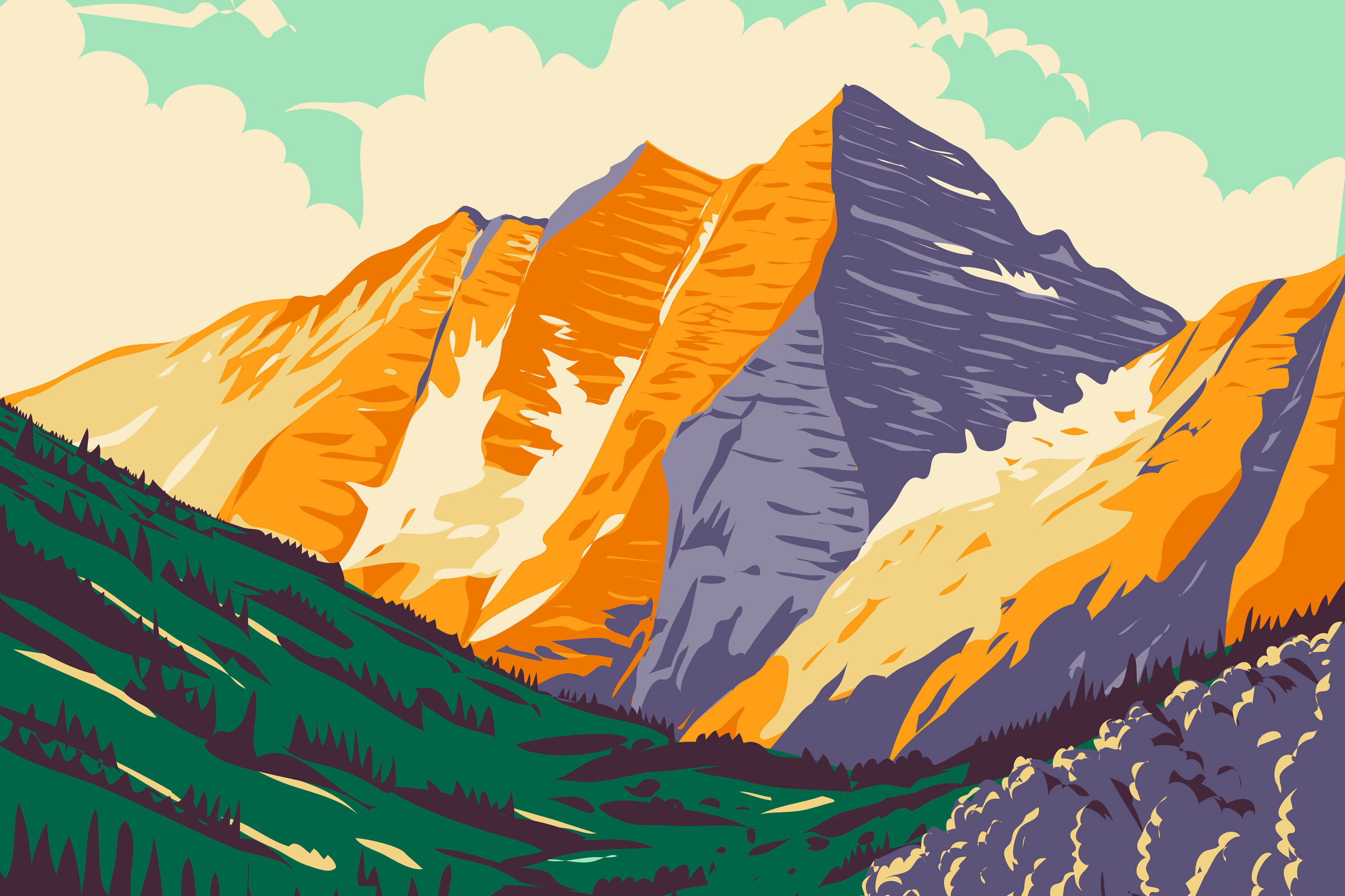
EPIC: Grizzly Lake Trail
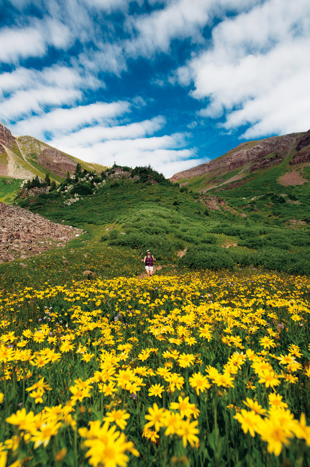
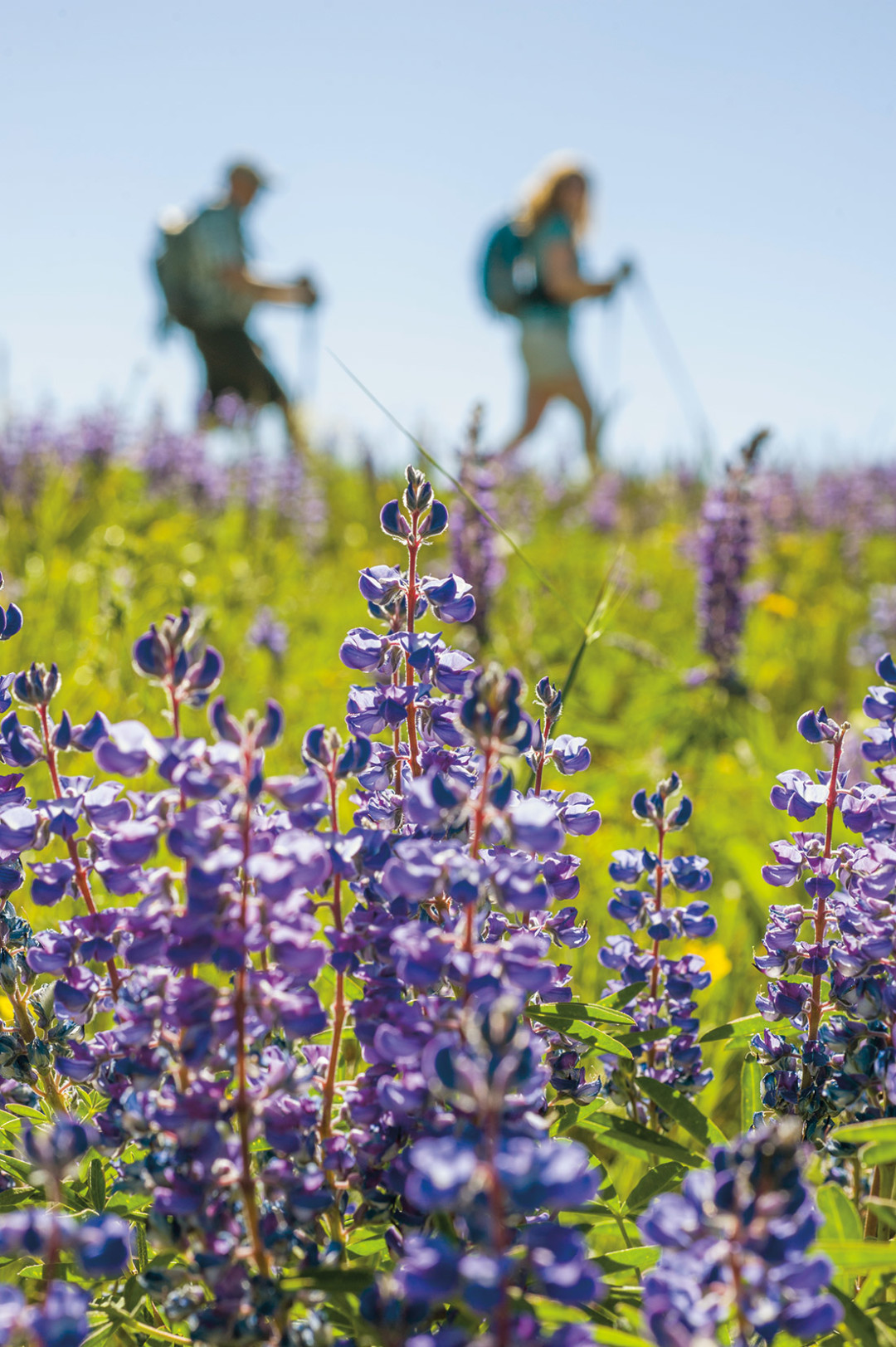
The outline of a peak or the view from a pass may be permanent, but hike a trail in July or September and the flowers and foliage can make your journey an entirely different experience. The mountains surrounding Aspen and Snowmass are awash with fields of wildflowers and extensive groves of aspen, offering hikes that vary with the seasons, within seasons, and even throughout the day as light and moisture change. The biggest challenge can be trying to do this natural art justice with a camera.
On the Grizzly Lake Trail, you’ll have multiple opportunities. The trail arcs in a broad semicircle, ascending about 2,000 vertical feet through a valley that packs a variety of terrain until it reaches a lake at the base of 13,988-foot Grizzly Peak. Along the first half of the hike, the wildflower fields look like rainbows that have shattered into a million pieces, from vibrantly red paintbrush to sunflower-yellow ragwort to tall, deep purple larkspur. Above treeline and nearer to Grizzly Lake are swaths of more delicate-looking alpine plants: cobalt blue alpine forget-me-nots that reflect the sky, dreamy lavender moss campion, and a profusion of snowy white bistort blanketing the moist meadows. To get there, drive ten miles east of Aspen on Highway 82. Take a right on Lincoln Creek Road and go 6.1 miles. The trailhead is on the left. —CL
The wildflowers around picturesque Maroon Lake (which you reach by taking a shuttle from Aspen Highlands) are just a hint of the kaleidoscope of color you’ll encounter higher up along the nearly five-mile, 3,000-vertical-foot ascent to Buckskin Pass. Each (literally) breathtaking climb seems to be rewarded by fields of flora: clustered around rocks along the rushing creek descending Minnehana Gulch, in the verdant alpine meadows above treeline with Buckskin Pass in sight, and finally, blanketing the steep hillside cut by switchbacks on the final grunt to the 12,462-foot pass. Looking down from this high perch on thousands upon thousands of golden yellow alpine avens, you will feel rewarded. —CL
Hike time: 7 hours round-trip Ability level: 3
EASY: Tom Blake Trail
Meandering almost entirely through vast swaths of aspen forest on the lower flanks of Snowmass’s Burnt Mountain, the Tom Blake Trail is a must-do hike when the leaves are changing. It’s an otherworldly feeling to be surrounded by aspen trees in their full autumn glory, sunshine infusing the canopy with a golden glow and a soft carpet of the distinctly shaped leaves underfoot. There are two trailheads—you can start from Owl Creek Road near Sinclair Divide or hike up Assay Hill under the Elk Camp Gondola until the singletrack trail enters the woods on the left—and it connects seamlessly to other trails on the mountain at various junctures. —CL
Hike time: 1–2 hours Ability level: 1.5
UNKNOWN: Tabor Creek
Looking for great foliage and a little mystery? Try this hike. You’ll find willow thickets, meadows full of wildflowers, and pine forests festooned with mushrooms (weather permitting). But will you find Tabor Lake? Not everyone does. The trailhead is about four miles up Lincoln Creek Road. Bring a map. Just beyond the fourth flower-filled meadow after you enter the Collegiate Peaks Wilderness Area, leave the trail and head uphill to your right. There’s a waterfall and a spectacular lake up there, we promise. Even if you don’t find the lake, the foliage and scenery make Tabor Creek worth the trip. —TH
Hiking to the top of a mountain pass offers low risk and high reward.
CLASSIC: Electric Pass
If you’re looking for panoramic vistas but don’t have the time or risk tolerance to climb a peak, it’s hard to beat one of Colorado’s hundreds of mountain passes. And of those hundreds, none can beat Electric Pass, the highest named pass in the state. An adjunct to the Cathedral Lake Trail, Electric Pass adds a few hours but is a worthy destination that offers a look deep into the heart of the Maroon Bells-Snowmass Wilderness.
Take Castle Creek Road about twelve miles to a short dirt road leading to the Cathedral Lake trailhead. Hike the trail to Cathedral Lake and then, after visiting the lake or just before you get to it, follow an obvious trail into a hanging valley to the north.
Leaving the valley, the trail switchbacks up a steep slope to a saddle west of Leahy Peak and continues west to reach Electric Pass at 13,500 feet. From there—and at that altitude—the view west across the Conundrum Creek Valley toward Pyramid Peak and the Maroon Bells is breathtaking, both literally and figuratively. Just remember that the pass is named Electric for a reason. So get there early in the day, before any thunderstorms roll in. —TH
Hike time: 6–9 hours round-trip Ability level: 3
EASY: Independence Pass
What could be more convenient than a drive-to pass? At 12,095 feet, Independence Pass marks a high point on Highway 82, twenty miles east of Aspen, that’s surrounded by treeless, windswept tundra. A short paved trail leads to an observation deck, offering near 360-degree views of dozens of peaks in the Sawatch and Elk Mountain Ranges. In clear weather, hike up the ridges on either side of the parking lot and earn even more glimpses into pristine alpine wilderness. —CL
Hike time: 15 minutes to the observation platform Ability level: 1 (observation platform)
It’s a bit of a drive from Aspen, but this high-altitude trail has a lot going for it—and a surprise twist at the end. Take Highway 82 over Independence Pass to mile marker 66 and follow a short dirt road to the trailhead. The hike’s opening stretch, up a scenic, steep-walled valley, is reasonably flat and good for trail running. Toward the end, things get steeper, and the trail leads past a tiny lake to a pass on the Continental Divide. The spectacular view looks northeast into the Hunter-Fryingpan Wilderness. And there, below you, you’ll see (spoiler alert!) the Fryingpan Lakes—the headwaters of Basalt’s Fryingpan River. It seems impossible, given where you are, and it adds an interesting discovery to a pleasant hike. —TH
Hike time: 4–6 hours round-trip Ability level: 2
EPIC: West Maroon to Crested Butte
It’s not every day you can say you walked from one of Colorado’s coolest ski towns to another, which is just one of the things that makes the Aspen-to-Crested Butte hike so special. From the Maroon Bells scenic area, the mostly gradual, 3,000-foot climb to 12,500-foot West Maroon Pass includes ever-present views of North America’s most photographed peaks. The descent is through some of the most riotously colorful wildflower fields in central Colorado. And unlike most hikes, the return trip can be made by vehicle shuttle (3.5 hours) or a 15-minute flight. —CL
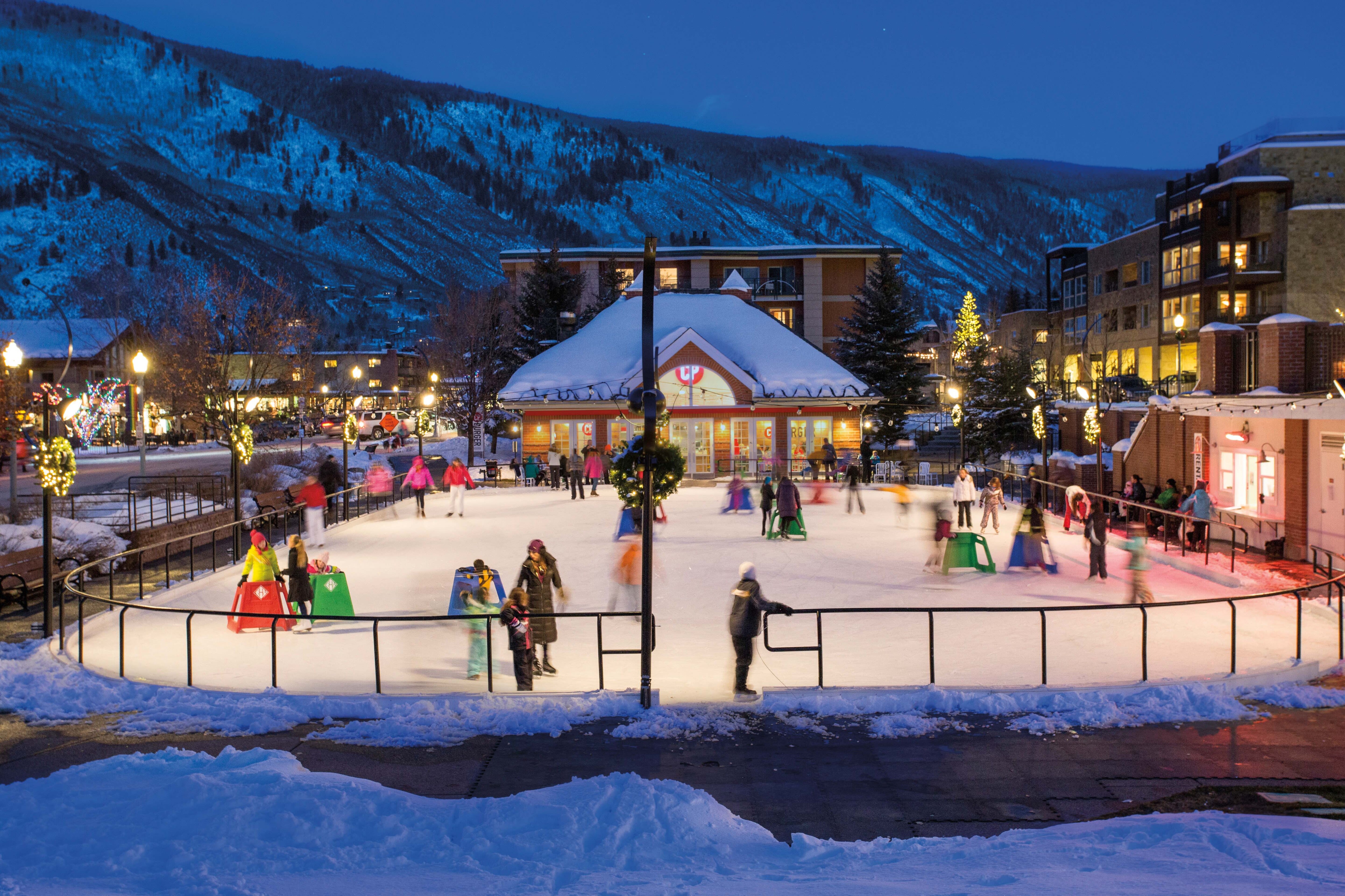
An advantage of being almost entirely surrounded by public lands is that Aspen and Snowmass offer several hikes you don’t need a private vehicle to access. Aspen’s in-town trail network connects seamlessly to the East of Aspen Trail, which offers an easy stroll through the bucolic North Star Nature Preserve. A classic local day hike, the six-mile Smuggler-Hunter Creek loop has trailheads along the free Hunter Creek bus route, or via WE-Cycle (we-cycle.org), Aspen’s new bike-share system. Climbing the 3,300-vertical-foot rise of Aspen Mountain is another hard-core local tradition—either from downtown Aspen or the popular Ute Trail, a steep, switchbacking trail on the eastern edge of town accessed by bike or the Crosstown Shuttle. (The gondola ride down is free.)
In Snowmass, most trailheads can be reached on foot, by gondola, or by local public transit. An in-town classic is the Rim Trail, which ascends and traverses a ridge contouring the Brush Creek Valley and offers expansive views in all directions. Take Village Shuttle bus no. 6 to the south trailhead behind the Mountain View condos. —CL
AQUEOUS ACTION
Rivers, lakes, and even waterfalls give some hikes a little more flow.
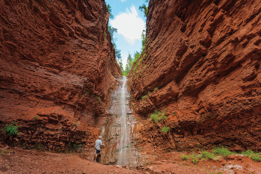
UNKNOWN: Seven Castles
If you’re looking for pristine lakes or babbling creeks, the Aspen area’s got an amazing selection, but if you want waterfalls, there’s only one hike! Seven Castles. However, due to issues regarding private property, environmental sensitivity, potential danger, and local etiquette, we can’t tell you how to find the trail. But we can assure you it’s worth finding, so ask around. Someone is bound to know where it is.
You’ll discover adventurous hiking and a Utah-style sandstone wonderland that seems utterly out of place in Colorado. Red rock predominates, and at times, as you follow a tortuous creek bed into the hills, the encroaching cliffs loom so close you’ll be forced to turn sideways as you pass.
A short hike will bring you to the base of a waterfall in a forested grotto. But what’s that? A fixed rope hanging alongside the falls makes it possible to continue on only if you dare. Most—probably three-quarters—of the hike starts at the top of the rope. Those bold enough to climb the rope and make their way around the trail’s other obstacles can find two more large waterfalls and many smaller ones, plus a massive amphitheater of towering cliffs and sculpted hoodoos.
It’s not for the faint of heart, and we can’t officially recommend it, but Seven Castles is the most surprising hike in the Aspen area. —TH
Late summer is an ideal time for the short-but-sweet hike to Linkins Lake, which lies in an open, glacial cirque near Independence Pass. From the upper Linkins Lake trailhead (18.5 miles east of Aspen on Highway 82), the trail soon veers left, ascending steeply at times through tundra painted by a variety of wildflowers that bloom in July and August. The terrain flattens out before Linkins Lake, a good spot to contemplate the surrounding peaks along the Continental Divide. —CL
Hike time: 1 hour round-trip Ability level: 2
EPIC: Lost Man Loop
Although it’s hard to get lost on the Lost Man Loop, which follows two river drainages and is marked by three alpine lakes, the feeling of being incredibly far from civilization is frequently palpable. The trail, which starts at the Linkins Lake trailhead (also called the Upper Lost Man trailhead, 18.5 miles east of Aspen on Highway 82), follows the upper Roaring Fork River to its source at Independence Lake, then climbs a 12,815-foot pass with expansive views on both sides. Descending toward Technicolor-blue Lost Man Lake feels like entering a fairytale kingdom, especially when the wildflowers are in bloom. The trail curves around a marshy section of Lost Man Creek before continuing its gradual descent of the valley through fragrant evergreens and past Lost Man Reservoir to the trailhead, four highway miles below where you started. —CL
Hike time: 5–7 hours Ability level: 3
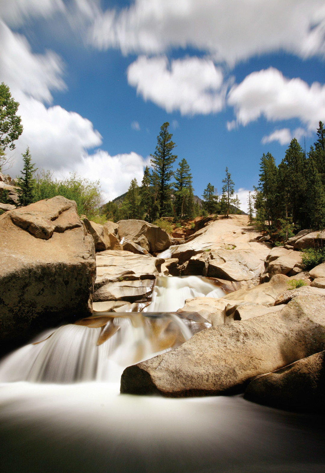
CLASSIC: Cathedral Lake
The 2,000-vertical-foot climb to Cathedral Lake can be considered a longer, harder, and higher-altitude version of Aspen’s popular Smuggler Trail. But this rigorous uphill workout—which ascends a canyon marked by waterfalls, a massive rockslide, and open switchbacks through wildflower fields—has its own unique reward in Cathedral Lake. Silently resting under rocky, 13,943-foot Cathedral Peak, the lake changes in color and mood with the light: crystal clear, emerald green, or slate gray. Allow yourself ample time at this soulful place before the descent, which offers panoramic views across the Castle Creek Valley and ends in a picturesque aspen forest. To access the trailhead, take Castle Creek Road until you pass the ghost town of Ashcroft. Turn right onto a gravel road and drive a half-mile to the parking area. —CL
Hike time: 4 hours round-trip Ability level: 2–3
LITTLE LEGS
Hiking with kids can be a chore or a joy. These hikes keep things fun.
For most kids, especially young ones, hiking up a long, steep hill doesn’t sound particularly exciting. Fortunately, Aspen has a plethora of hikes and walks that don’t require thousands of feet of elevation gain. In fact, some hardly gain any elevation at all.
One of the easiest, most interesting kid hikes in the area is the Grottos, which can be found nine miles east of Aspen off Highway 82. Part of the hike, across a bridge to reach a pleasant picnic area, is wheelchair-accessible. A slightly longer hike will take you to the cascades, a series of scenic pools and waterfalls along the Roaring Fork River. The main attraction at the Grottos, however, is the ice cave, so named because ice persists in its shady depths well into the summer. It requires a little climbing to get into and out of, but the cave is ripe for exploring and unlike anything else near Aspen.
Kid-friendly as it may be, the Grottos is not without potential hazards in the form of swift river currents and a looming crack in the roof of the ice cave. But keep an eye on little ones, and the whole family will enjoy this popular area. —TH
Hike time: 30 minutes round-trip Ability level: 1
CLASSIC: Crater Lake (and Maroon Lake)
Of all the classic hikes in the Aspen area, this popular trek may be the most classic. It’s also short enough and easy enough for young kids and grandparents alike, although it does have a couple of brief steep parts.
Take the bus from Aspen Highlands to the Maroon Bells visitor center. If you don’t feel like hiking, take a walk around Maroon Lake. If you want to get away from the crowds, however, continue on the trail a couple more miles to Crater Lake, a beautiful tarn set in a basin at the foot of the world-famous Maroon Bells. If you and your family are only going to do one hike while you’re in Aspen, this is probably the one you’ll want to do. —TH
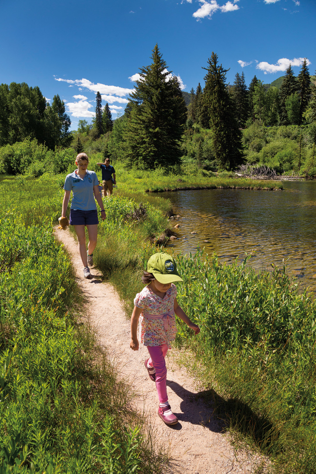
More an epic day than an epic hike, this one has something for kids of all ages. Ride the gondola from the Snowmass Base Village to Elk Camp, which has mountain biking trails, paintball, disc golf, Eurobungy, and a climbing wall. From there, get some exercise by hiking about 1.5 miles to the top of the Elk Camp chairlift. Check out the jaw-dropping view of the Maroon Bells and ride the lift back down. Don’t feel like hoofing it up the hill? Free nature walks with a guide from the Aspen Center for Environmental Studies leave from the top of the gondola on the hour from 11 a.m. to 3 p.m. —TH
It may seem odd to think of the forty-year-old Aspen Center for Environmental Studies (ACES) as unknown, but you’d be surprised how many people forget it’s there. And while it’s not exactly a hike, it does offer a nice walk around Hallam Lake in addition to its other attractions. Located behind the Aspen Post Office on Puppy Smith Street, ACES is easily reached on foot. There you’ll discover interactive displays, an indoor trout stream, and some new animal friends, including the resident golden eagle and great horned owl, possibly heretofore-unknown critters for your little ones. Kids may not break a sweat, but they’re guaranteed to crack a smile. —TH
Hike time: 40 minutes around the lake, potentially hours on site Ability level: 1
There’s little doubt that the best way to see Colorado is to get deep into the wilderness and go camping. Freed from the constraints of day hikes, you can leave civilization even further behind. Of course, as much as most people love camping, not everyone likes backpacking, especially if they have kids. If you’re one of those folks, this combo allows you to camp and hike without having to carry all your gear on your back.
Take Frying Pan Road roughly twenty-seven miles east from downtown Basalt and make a left on North Fork Road. Camp three miles up the road at Elk Wallow, a remote, seldom-visited National Forest campground with seven lovely sites and an outhouse. Five miles farther up the road lies the Savage Lakes trailhead. Short but moderately steep, the trail is easy enough for kids, and it leads to a large, quintessentially spectacular alpine lake. At the far shore, a rough trail leads to another large lake that may be even prettier.
See? All the fun of backpacking without the weight. —TH
Hike time: 3 hours of driving from Aspen and back, 2–5 hours of hiking Ability level: 2
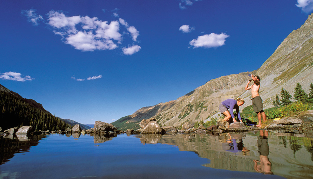
The gradual eight-mile ascent of the beautiful Snowmass Creek Valley affords plenty of time to contemplate the glacial forces that carved it out. There’s the ever-present, snowmelt-fed creek rushing down the path the glacier once did, slowing and meandering in flat spots now fashioned into beaver ponds. There’s the crossing of the creek in one such flat section on a log jam, which looks like a giant’s version of pick-up sticks. At times the trail opens up to views of snowcapped peaks ringing the valley, such as Capitol Peak (14,130 feet) and Snowmass Mountain (14,098 feet). And after a jaunt through old-growth conifer forest, it ends at Snowmass Lake, the still turquoise waters a picture-perfect backdrop for forays above the several campsites near the lake. —CL
Hike time: 2–3 days Ability level: 3
EASY: Conundrum Hot Springs
There are few things nicer than a soak in a hot spring after a long hike. Of course, you aren’t the only one who knows that, so expect a communal atmosphere on this overnight. Whether that’s good or bad is up to you. Take Castle Creek Road to Conundrum Creek Road and follow it to the parking lot at the end. From there, hike 8.5 miles up a gorgeous valley to eighteen designated campsites and the clothing-optional hot springs. Have a nice long soak, enjoy the views, and don’t bogart the joint or the bottle when they’re passed your way. —TH
A trek that attracts backpackers from around the country, the Four-Pass Loop is actually one of the few multiday options in the Aspen area that doesn’t involve retracing steps on an out-and-back route. But that’s not the sole reason to do it. This circumnavigation of the famed Maroon Bells offers everything you ever wanted in a Rocky Mountain hiking experience, and probably more: four major passes above 12,000 feet, three stunning alpine lakes (Maroon, Crater, and Snowmass), idyllic camping spots, fields of wildflowers, and the dramatic backdrop of soaring peaks such as the 14,000-plus-foot Bells. Not only is there a feeling of accomplishment upon completing the twenty-seven-mile circuit, but you gain an intimate knowledge of the Maroon Bells–Snowmass Wilderness shared by a relative few. —CL