Secrets of Snowmass's New Seven Star Trail
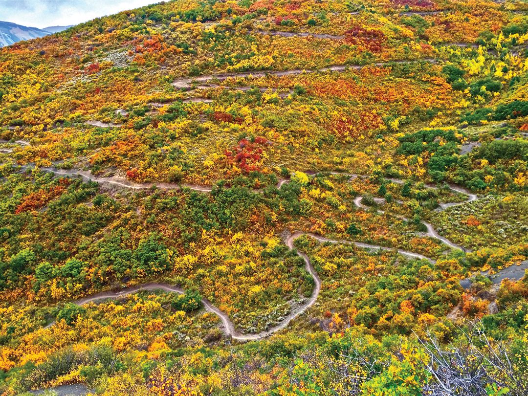
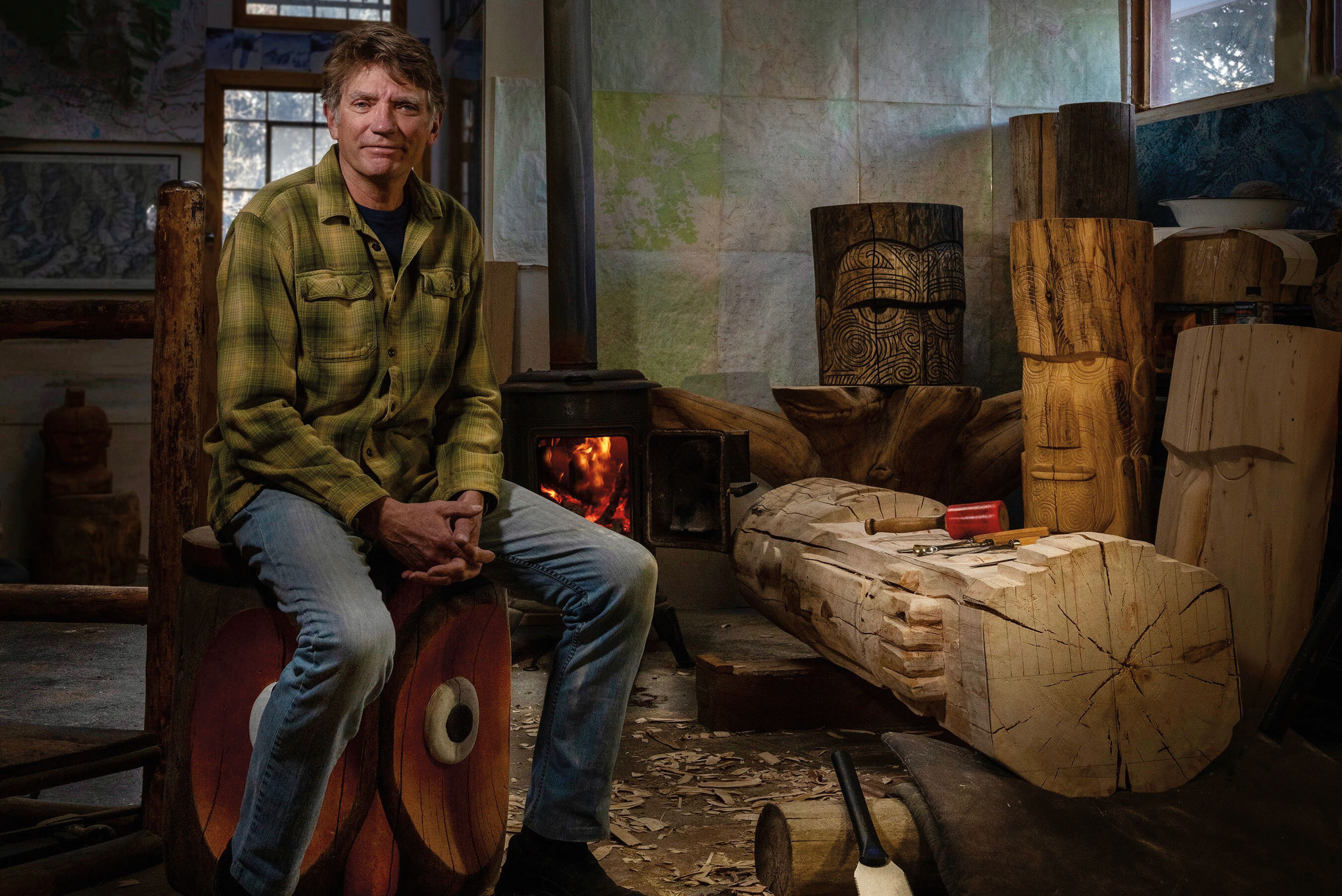
Image: Tony Boone
There’s a certain magic to a great trail. While big vistas are a slam dunk for every user, mountain bikers and runners tend to tune in to the rhythm of a trail’s rolls and turns. “Kinesthetic diversity is candy for the rider’s soul,” says Tony Boone, a veteran trail builder based in Salida. If you ride or run, you know exactly what he means.
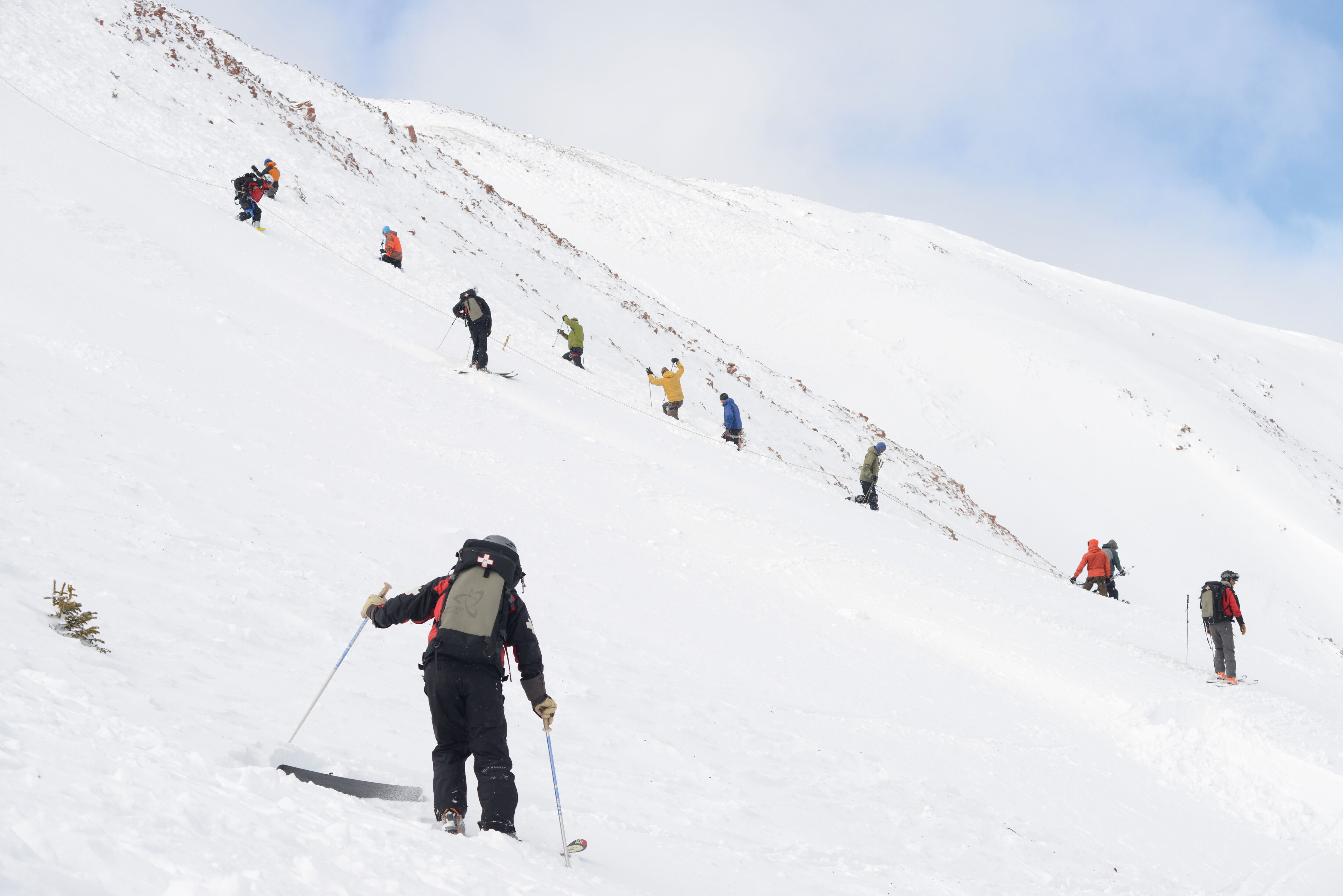
It’s this alchemy of views and rhythm that has made the new Seven Star Trail in Snowmass Village an instant hit. The singletrack trail officially opened last October, creating a loop that connects the North Rim Trail to the Brush Creek wetlands. A counter placed in mid-November tallied a whopping 4,520 users in just 19 days.
“It’s kind of an old-school, rolling-contour, sustainable, backcountry-style design,” says Ted O’Brien, resource and trails manager for Pitkin County Open Space and Trails, which oversees Seven Star along with the Town of Snowmass Village. Not particularly technical, the trail’s gently banked turns and subtle undulations make it ideal for runners, mountain bikers, and hikers. Beginner and intermediate riders will find it friendly, and everyone will love the views.
A Trail Is Born
The start, finish, and general character of the Seven Star Trail was proposed and approved through a public process as part of the original Sky Mountain Park Management Plan (2012). The trail traverses Pitkin County property on the former Seven Star Ranch, adjacent to Sky Mountain Park.
The Layout
Piecing together a trail is a 3D puzzle. Trail builders link control points—for example, great views or interesting terrain features—and route around constraints like poor soil, wildlife traffic, and certain vegetation. In this case, Mancos shale, tough serviceberry bushes, and large Gambel oak dictated much of the trail’s course. The design was a collaborative effort by many, first using GIS mapping, then marking the conceptual design with small flags in situ.
In the Rough
Tony Boone Trails was hired for the multistage building process. First, the 20- to 40-foot-wide conceptual corridor was narrowed to the final flagged path, then cleared with chainsaws and forestry cutters. Thick stands of stubborn oak brush made this task a slog. A team of swampers followed to remove the downed brush.
Final Cut
With the corridor set, a rough trail was cut by 30-inch-wide, specialized bulldozers, which were followed by mini excavators that trimmed and cleaned the uphill side of the emerging path. Finally, the crew polished the trail by hand, using Pulaskis, pruners, shovels, and other small tools.
“There’s nothing easy about building trail,” notes O’Brien. “It’s a labor of love, done by folks who enjoy sculpting dirt and seeing people experience the art they’ve created.” Weather delays, the occasional moose sighting, and giving the resident bears plenty of space slowed down the process. From conceptual design to finish, the build took most of the summer.
The Secret Ingredient
Trail sustainability and user enjoyment are directly related to a trail’s grades, pitch, and angles. ’Dozers and saws may be powerful, but it’s a humble measuring device that holds the most sway over the final outcome. The inclinometer, or clino, which measures grades in the field, is darn-near deified in the realm of trail-building. “It’s about channeling the great clino spirit,” says Boone with a laugh. As for the overall importance of trails, he paraphrases the wise words of a long-ago mentor: “People don’t need trails; the land does.”
Just the Facts
Length: Approximately 4 miles
Elevation Change: 960 feet
Average Grade: 6 percent
Maximum Grade: 15 percent (in short bursts)