Grand Mesa Scenic Byway
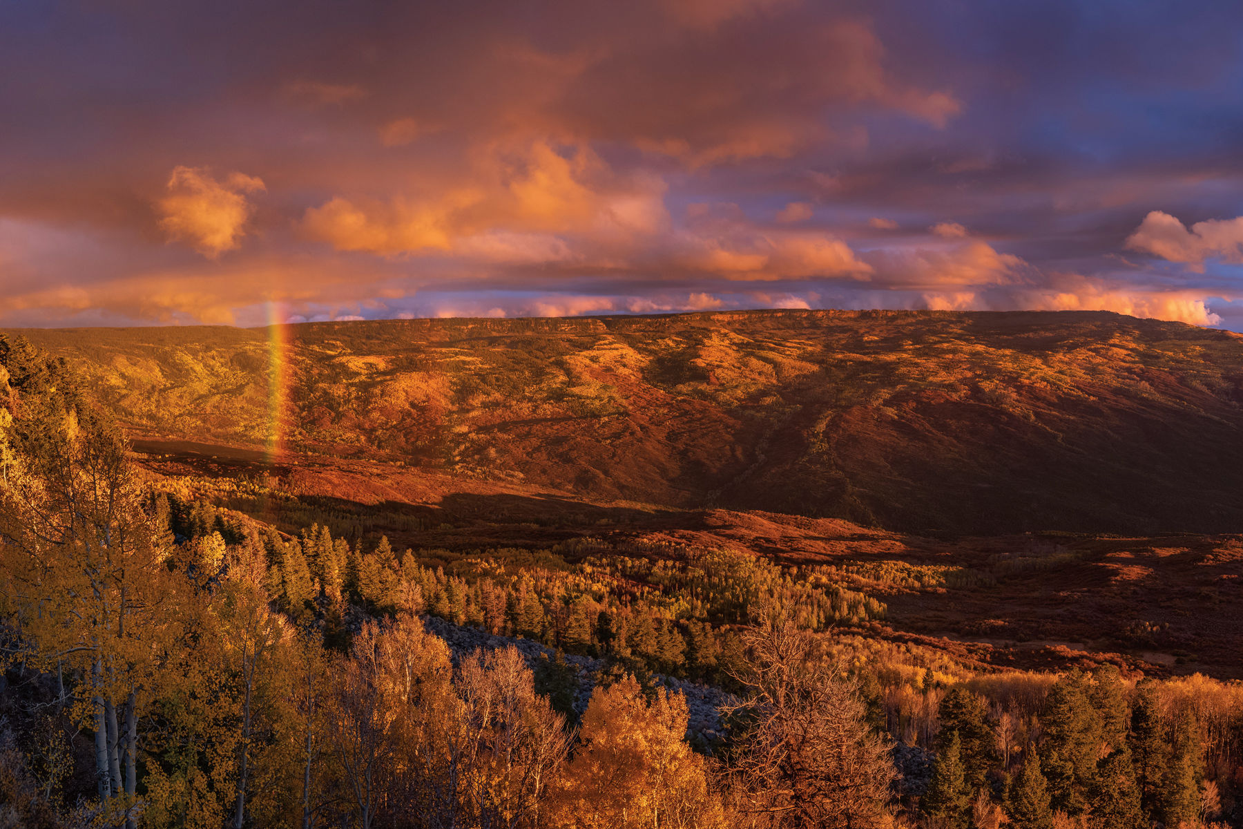
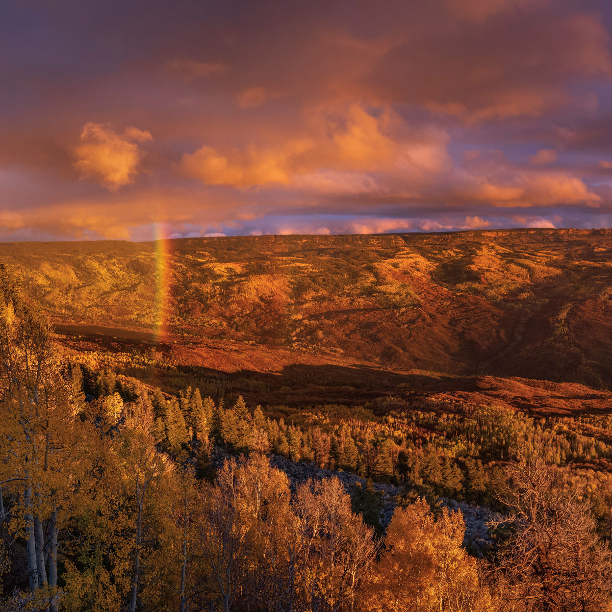
Image above: Grand Mesa
It’s one thing to call Grand Mesa the world’s largest flat-topped mountain, but even that superlative doesn’t do justice to this Western Slope behemoth, which towers some 6,000 feet above the Grand Valley and the cities of Grand Junction and Palisade. Rising above 11,000 feet in places and encompassing almost 500 square miles (about one-third the size of Rhode Island), the mesa has vast swaths of aspen groves, which coat its flanks in brilliant shades of yellow and orange each fall; more than 300 lakes, many of them ideal for fishing, stand-up paddleboarding, and canoeing; hiking and mountain biking trails in the Grand Mesa National Forest; and even a small ski resort, Powderhorn, on its northern slopes.
DISTANCE: 63 MILES FROM EXIT 49 ON I-70 TO THE TOWN OF CEDAREDGE
Day 1
From Aspen, follow Highway 82 for 41 miles to Glenwood Springs and head west on Interstate 70. After 67 miles, get off the interstate at exit 49 (Grand Mesa/Powderhorn). At the start of Highway 65, where the scenic byway begins, stop at the pullout on the right, where a roadside sign gives an overview of the route and some history about the Plateau Valley and the nearby town of Collbran. The first 10 miles trace the meandering canyon of Plateau Creek to the hamlet of Mesa. Pop into Blink Coffee Company (10983 Hwy 65) for a quick pick-me-up like the Dirty Hippie (chai latte and a shot of espresso over ice) or a deli sandwich like the veggie-and-cheese Tree Hugger.
About 8.5 miles south of Mesa, the byway passes Powderhorn Mountain Resort, which in summer and fall offers scenic chairlift rides, hiking, and lift-served mountain biking trails.
Beyond Powderhorn, the road climbs past the still-discernible slopes of the former Mesa Creek Ski Area—the area’s original ski hill, which operated from 1940 to 1966—and offers unobstructed views of the Grand Valley and otherworldly rock formations before reaching the seven Mesa Lakes. Check into one of the basic but comfortable cabins at the old-timey Mesa Lakes Lodge, and rent a boat to try your hand fishing on Beaver or Sunset lakes, which teem with trophy trout. For dinner, the lodge’s restaurant serves up burgers and soups, as well as local beer from Palisade Brewery and wine from nearby Talon Winery.
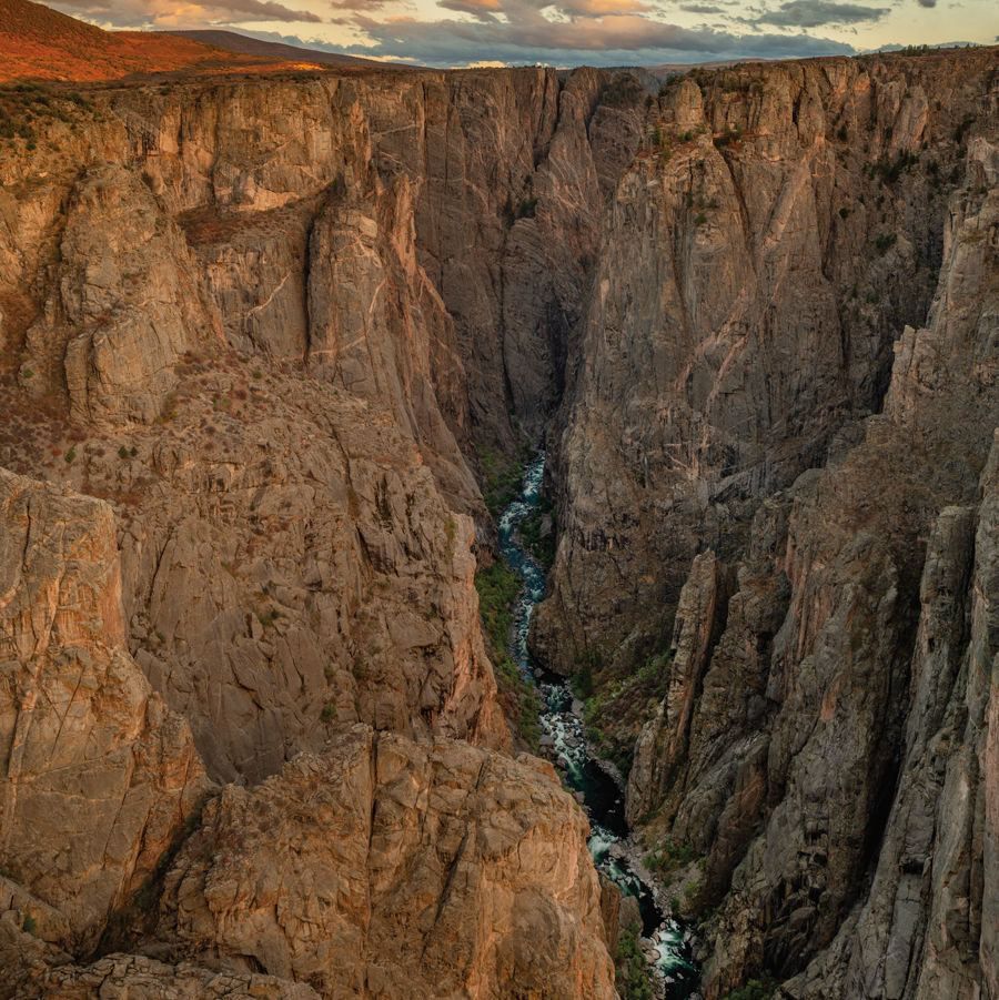
Eat on the early side, then drive 5 miles past Mesa Lakes along Highway 65 to County Road 100, an extension of the scenic byway that follows the rim of the mesa. At 5 miles in, consider a quick stop at a pair of cabins that were part of Raber Cow Camp, now a historic site. After 12 miles total, you’ll reach the cliffside Lands End Observatory. Built for the US Forest Service in 1936–37 by the Works Progress Administration and the Civilian Conservation Corps, the stone-and-wood observatory served as a visitor center until it closed in 2014. Time things right to arrive at this lookout point to see the sun set beyond the Grand Valley, with vistas to the San Juan Mountains in southern Colorado and the La Sals in Utah.
Day 2
About 10 miles from your lodging at Mesa Lakes, the byway reaches the heart of Grand Mesa, which holds a visitor center and several large lakes with a sprinkling of cabins and lodges dotting the shorelines. Wind along Baron Lake Drive past Deep Ward and Alexander lakes to the Alexander Lake Lodge, where you can fuel up with breakfast fare like omelets and egg sandwiches.
Afterward, stop in at the visitor center to learn more about the area’s geology, and check the latest weather conditions before you backtrack about a mile to the Crag Crest Trailhead, the start for a hike on this designated National Recreation Trail. The trail follows a rocky, elevated spine that separates the mesa’s northern and southern drainages, and it features a narrow, 2-mile stretch that boasts big drop-offs on either side and panoramic views that seem to stretch from Wyoming to New Mexico. The hike can be extended to a 10-mile loop, but just hiking to the narrow part of the ridge and back makes for a fine half-day trek.
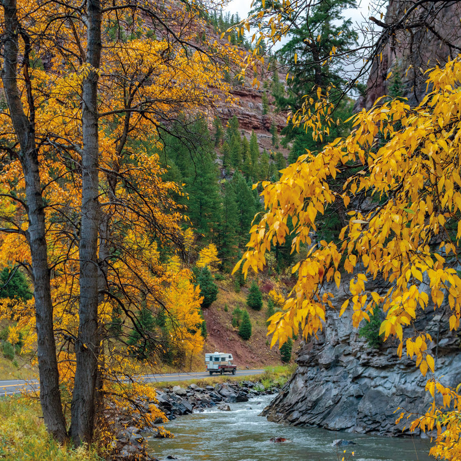
If you’re looking to cool down following your morning hike (or if it wasn’t enough exercise), return along Baron Lake Drive to Thunder Mountain Lodge, where you can rent SUPs or kayaks for an afternoon paddle (and perhaps a chilly swim) in Deep Ward Lake. Then it’s back in the car for the drive down the mesa’s south slopes to the town of Cedaredge. This beautiful stretch of byway is best experienced in the fall, when aspens and oak brush coat the hillsides in a dazzling array of autumn colors.
In Cedaredge, pop into the Lost Mesa Grill (130 W Main St) for signature burgers (try the spicy Ghost Canyon), fish tacos, or a portobello sandwich with truffle tater tots, and hoist a craft beer as you bid Grand Mesa adieu. The byway ends just a few blocks south of Main Street at Pioneer Town, a welcome center and historical museum, but don’t be dismayed—your drive back to Aspen will be mostly along the West Elk Loop Scenic Byway.
Road Trips
West Elk Loop Scenic Byway
Stake Out
Where to Camp Along Three Scenic Byways
Road Trips
Grand Mesa Scenic Byway


Aspen Snapshot
Returning to Barbie’s Dream House

Fun and Games
Aspenites Who’ve Made Their Mark at Winter Olympics

Local Love
Boogie by the Book


At Altitude
An Ecological Haven Gets a $9 Million Makeover

tweet this
A Birding Big Year in a Small Valley

Your Perfect Day
Where to Golf in the Roaring Fork Valley
Fun and Games
Aspenites Who’ve Made Their Mark at Winter Olympics

At Altitude
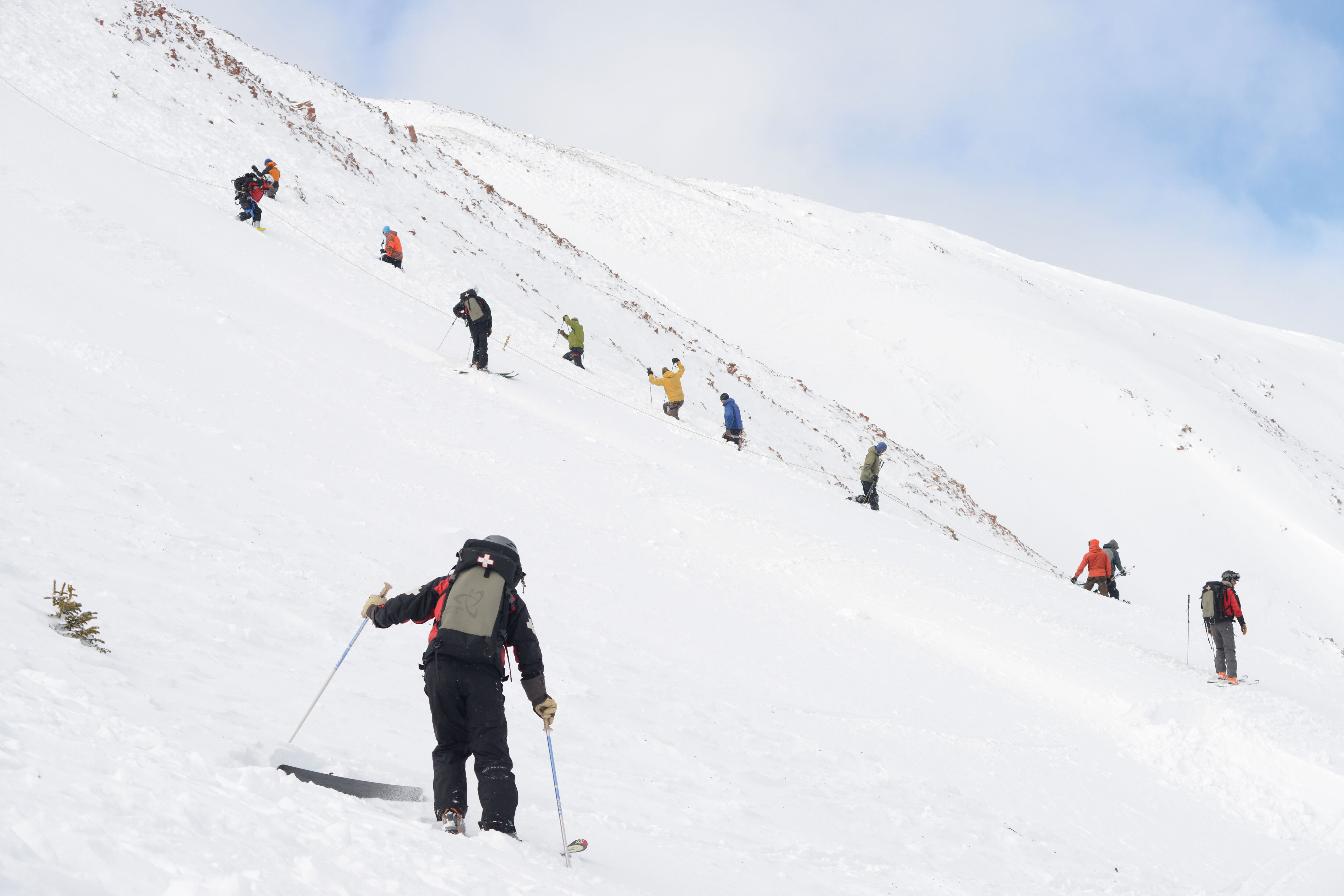
Bootpackers Share Favorite Highland Bowl Lines

Thrill List
The Ultimate Guide to Aspen Summer Adventures

Bottle Rocket
Colorado as a Hot Wine Destination?


Eat & Drink
Notable Restaurant Newcomers: Winter 2025-26

Restaurant Listings
Aspen Dining Guide

Feature
Dine Super Local in Aspen


Arts & Events
What to See: William H. Macy’s Variety Show at TACAW
At Altitude
An Ecological Haven Gets a $9 Million Makeover

Arts & Events
Envisioning a Bigger Space for Carbondale Clay Center
Arts & Events
Aspen’s Raizado Festival Returns for a Fourth Year
Mark Your Calendar
The Best of the Aspen Summer Scene

style roundup
Saddle Up Like an Aspen Cowgirl

Objects of Desire
20/20 Vision


Feature
Shop Super Local in Aspen

Fashion
Objects of Desire: Max Factor

Objects of Desire
Wild Style


Shelter
Reimagining a Home as Sculpture


rescue remedy
A Skin Care Must: Antedotum's New Face Oil

Bust a move
Aspen Fitness Three Ways

Retreat Yourself
Carbondale Wellness Sanctuary Is the Ultimate Winter Retreat

High Life
A Guide to Aspen's Dispensaries

Aspen Electric
A Guide to e-Biking in the Roaring Fork Valley

Etiquette Tips
E-Biking in the Roaring Fork Valley

A Night to Inspire
Ascendigo Blue Aspen 2020

People + Places
Pictures from the Winter Season’s Hottest Social Events

People + Places
Winter Fun Recap 2023-2024 Edition

People & Places
ASPENX Beach Club with Gray Malin

People & Places