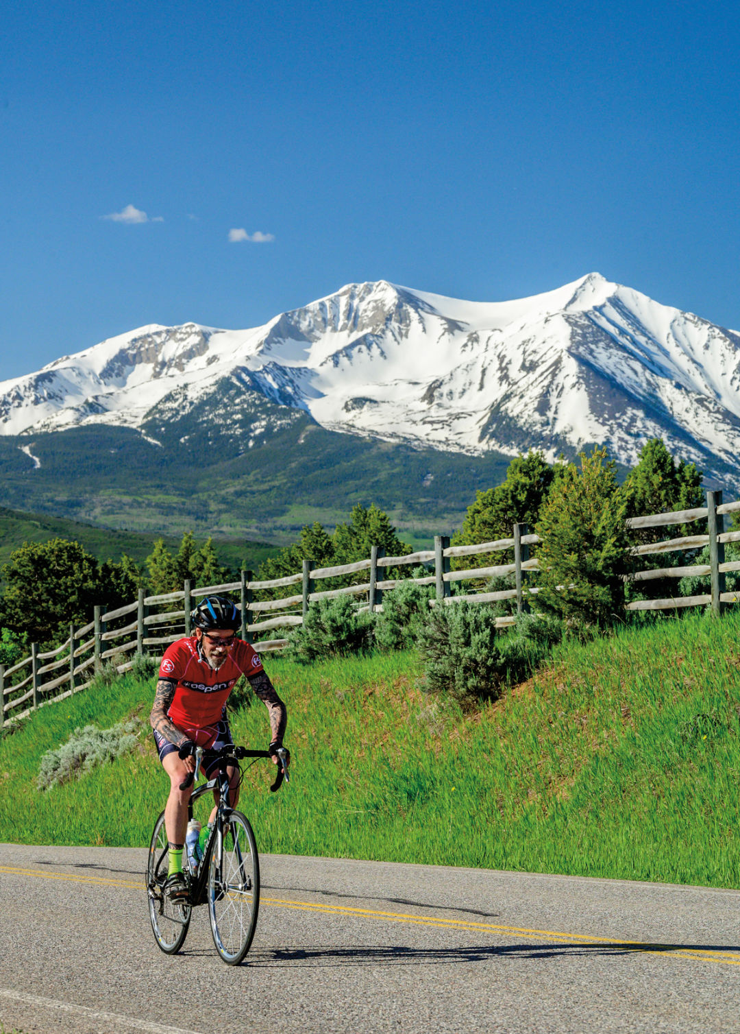
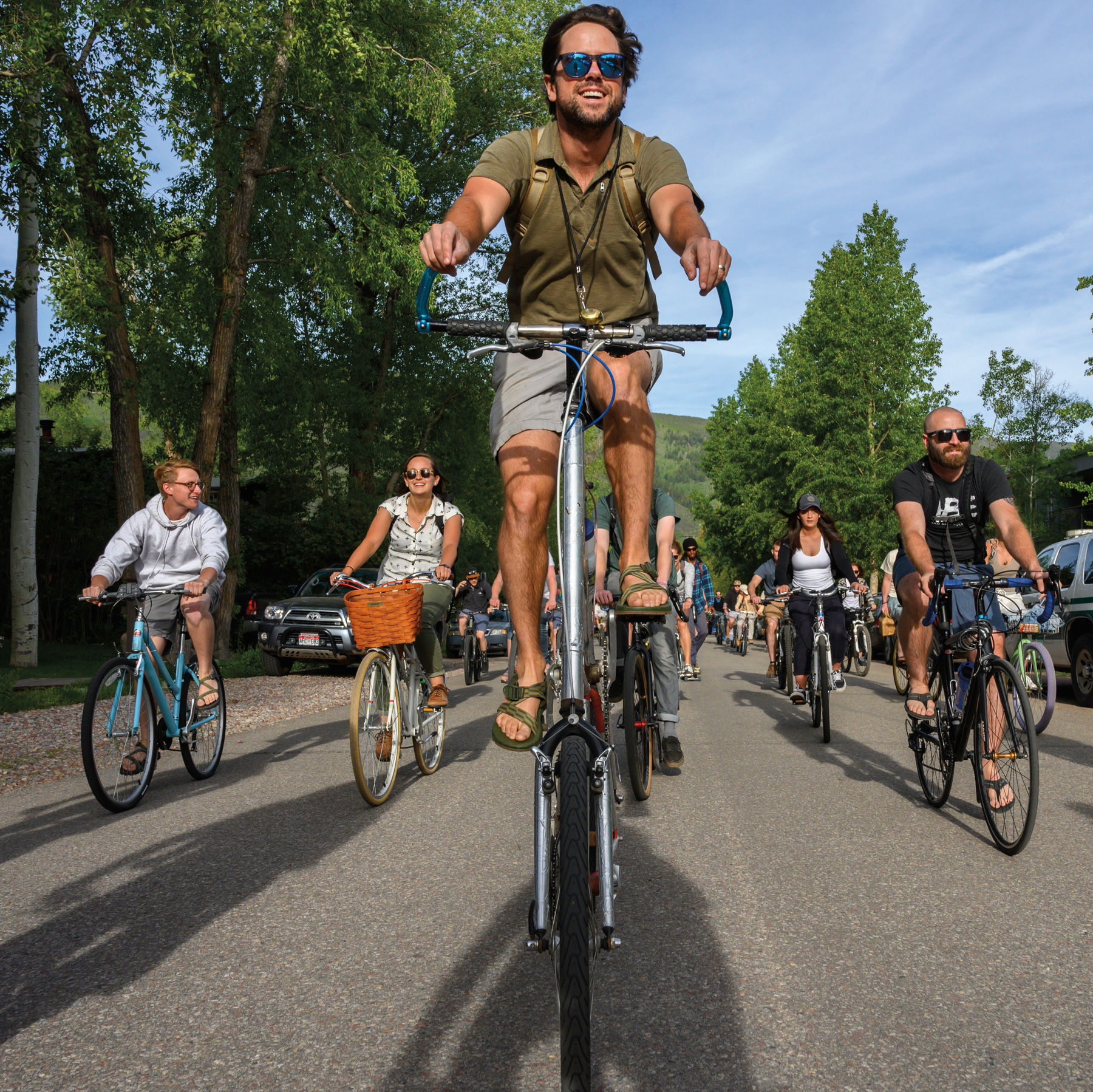
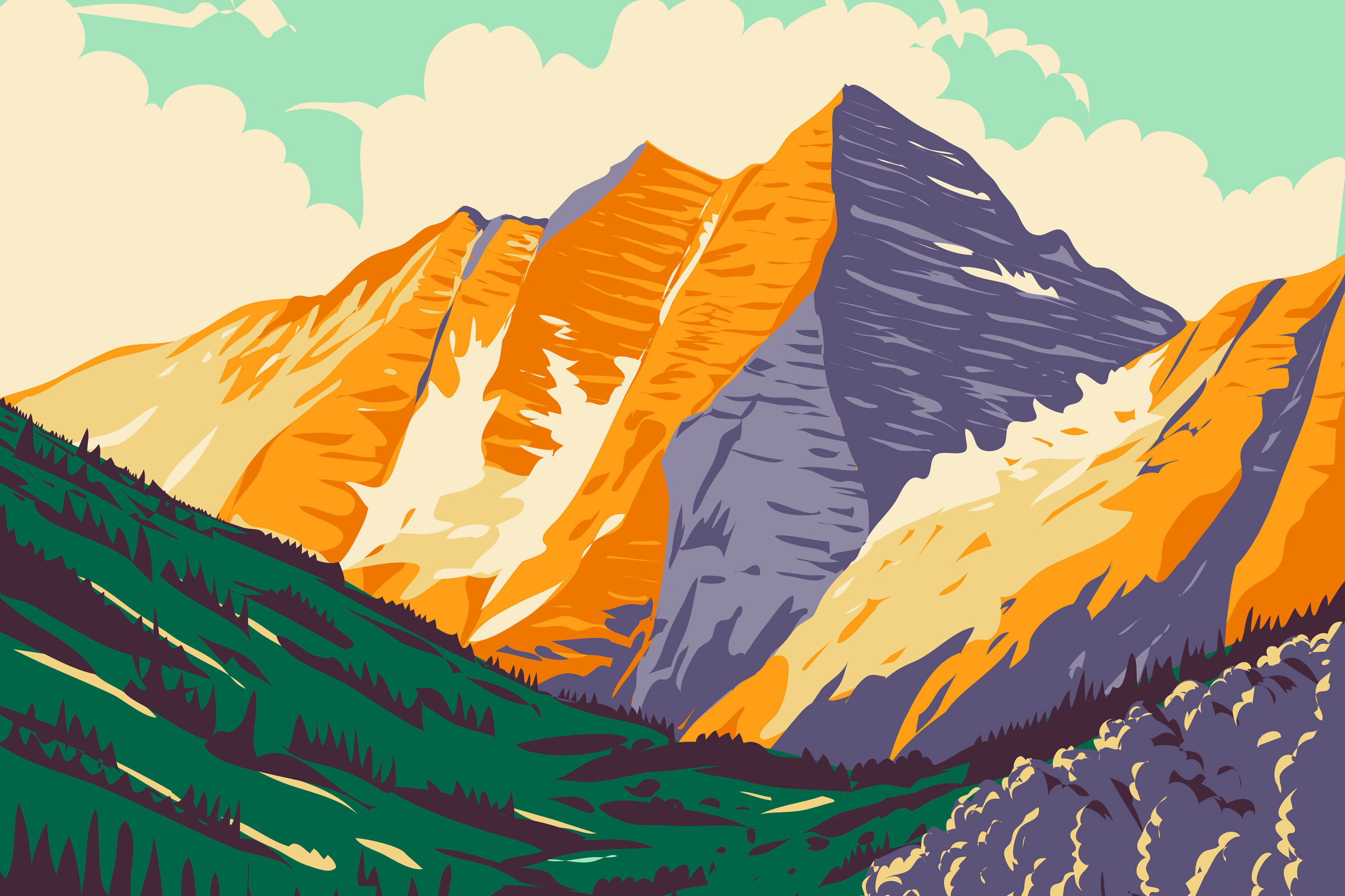
Reach Road Ride Bliss in the Roaring Fork Valley
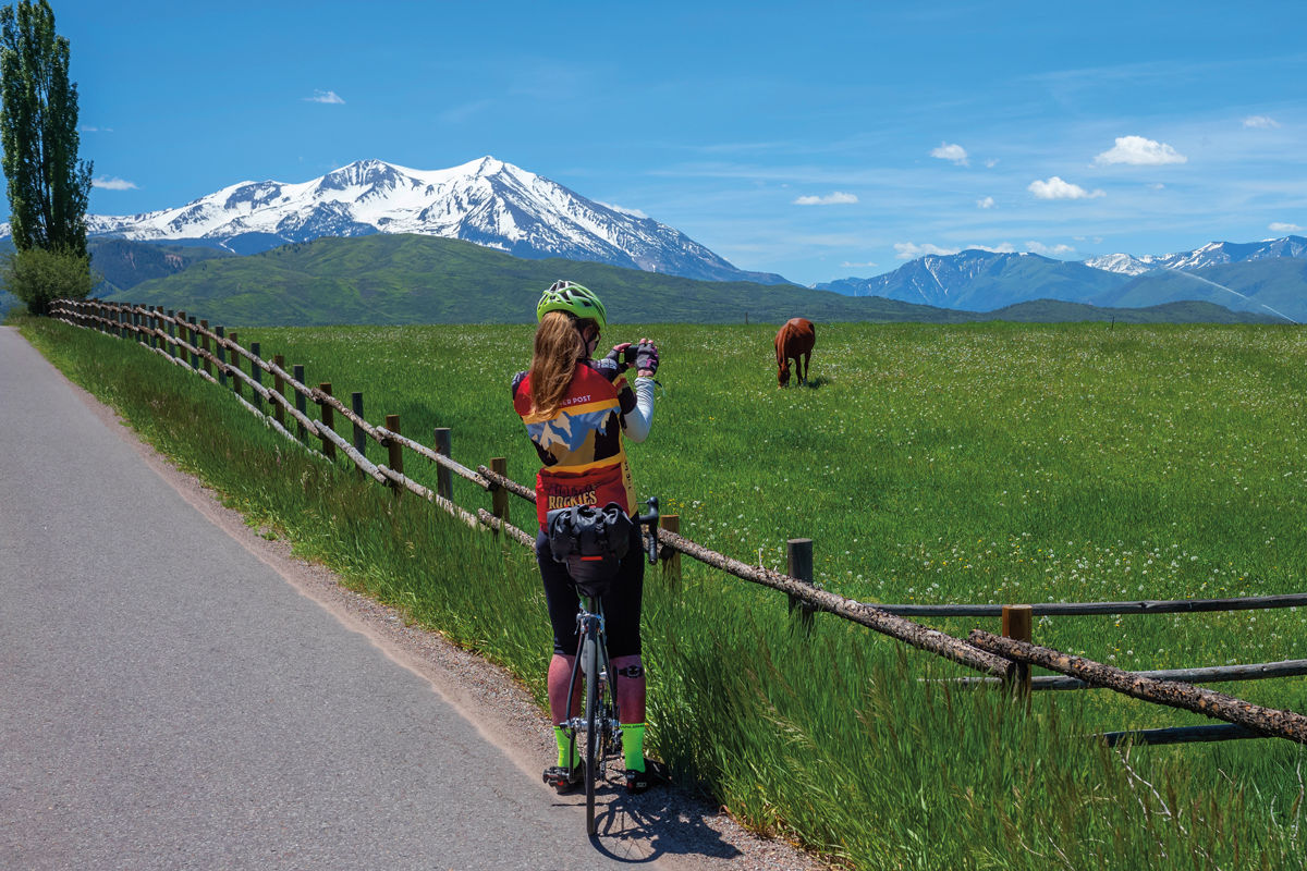
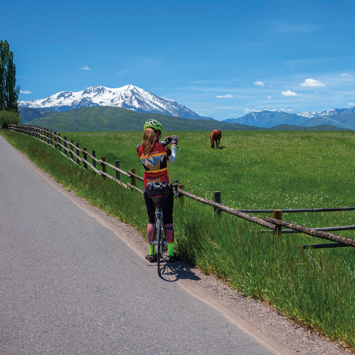
Image above: Missouri Heights provides great photo ops as well as riding.
Rookie
Rio Grande Trail to Woody Creek Tavern
Mileage: 16 round trip
Find it: From downtown Aspen, head north on Mill Street, then left on Puppy Smith to access the trail across from the post office.
This route follows an old paved and gravel railroad bed, which makes for pleasant cruising since the grade rarely exceeds 3 percent. For the first several miles, you’ll ride alongside the Roaring Fork River before popping out into sagebrush- and wildflower-dotted open lands. Woody Creek Tavern sits at the midway point of this out-and-back ride, providing the opportunity to pause for some Mexican eats and perhaps rehydrate with a margarita.
Enthusiast
Aspen to Ashcroft
Mileage: 28 round trip
Find it: From downtown Aspen, follow the bike route along W Hopkins Avenue, then continue on the paved path, past the Marolt housing complex, to Castle Creek Road.
To expand your cycling repertoire from the standard (and well worth it) ride to the Maroon Bells, point your bike toward the ghost town of Ashcroft in the Castle Creek Valley. The route climbs some 1,800 feet while affording stellar views of the high peaks lining the valley, as well as Castle Creek below. Bonus: Ride another mile past Ashcroft to the Pine Creek Cookhouse for lunch (reservations a must) before descending. Want a double dose of climbing? Hit both Ashcroft and the Bells in the same outing.
Rides in Missouri Heights come with stellar views of Mount Sopris.
Missouri Heights Loop
Mileage: 30
Find it: Begin on the Rio Grande Trail in Carbondale.
The riding in Missouri Heights, says pro cyclist and Roaring Fork Valley native Keegan Swirbul, is the best in the state for its variety and light vehicular traffic. His recommended loop: From Carbondale, ride the Rio Grande Trail toward Glenwood Springs for a nice, 5-mile warm-up. Cross Highway 82 at Cattle Creek Road and begin climbing. At the three-way stop sign, turn right onto County Road 100 (Catherine Store Road). Turn left on County Road 102, which will bring you across Missouri Heights. Turn left again onto Green Meadow Drive for one last push before heading downhill into El Jebel on Upper Cattle Creek Road. To return to Carbondale, take Valley Road to Frontage Road, then turn left on Catherine Store Road and rejoin the Rio Grande Trail just after the bridge.
Basalt to Meredith
Mileage: 54 round trip
Find it: Ride east from downtown Basalt on Frying Pan Road.
Yes, it’s uphill all the way to the small settlement of Meredith, but the climb maintains a reasonable grade, only getting steeper just before Ruedi Reservoir. Early in the ride, be on the lookout for bighorn sheep and other wildlife as you pedal parallel to the Fryingpan River (which offers some of the best fly-fishing in the area). The large reservoir begins just past the 13-mile point of the ride. Continue around the reservoir’s northern side, passing the turnoff for the Aspen Yacht Club, until the turnaround point in Meredith at roughly 27 miles. For extra mileage, continue another 5 miles until Nast, where the pavement turns to dirt.
Expert
Aspen to Emma
Mileage: 50 round trip
Find it: Start in downtown Aspen.
With a dirt section and plenty of climbing, this route is “not for the faint of heart,” says local cyclist Heidi Mellin about one of her favorite rides. From Aspen, head out of town on the Rio Grande Trail (see Rookie ride). For variety, veer off the trail and head up and over McLain Flats Road, then rejoin the Rio Grande just before Woody Creek. Ride for about 20 miles until the historic Emma schoolhouse in Basalt, then turn left onto Sopris Creek Road. At the T intersection, go left again onto East Sopris Creek Road, where the road turns to gravel. When it ends in Capitol Creek Road, turn left, then right to reach Snowmass Creek Road and ride for several more miles to Watson Divide Road on the left. A big climb, followed by a fast descent, takes you to Highway 82. Cross the road and return to Aspen on the Rio Grande Trail.
Independence Pass
Mileage: 38 round trip
Find it: Start in downtown Aspen and ride east on Highway 82.
This burly ride provides plenty of scenery and bragging rights. As part of the Top of the Rockies Scenic Byway, the narrow road also sees a steady stream of traffic, so ride it early morning or late afternoon to avoid the worst of it. And bring an extra layer, as the ride downhill can get chilly. You’ll climb more than 4,000 feet as you pedal to the top of the pass at 12,095 feet in elevation. In addition to reaching the Continental Divide, you’ll have ridden one of the highest paved roads in the US. Heading back to Aspen isn’t all downhill—you may not have noticed any breaks on the way up, but you’ll definitely notice them in the couple of spots you have to pedal on the way back to town.
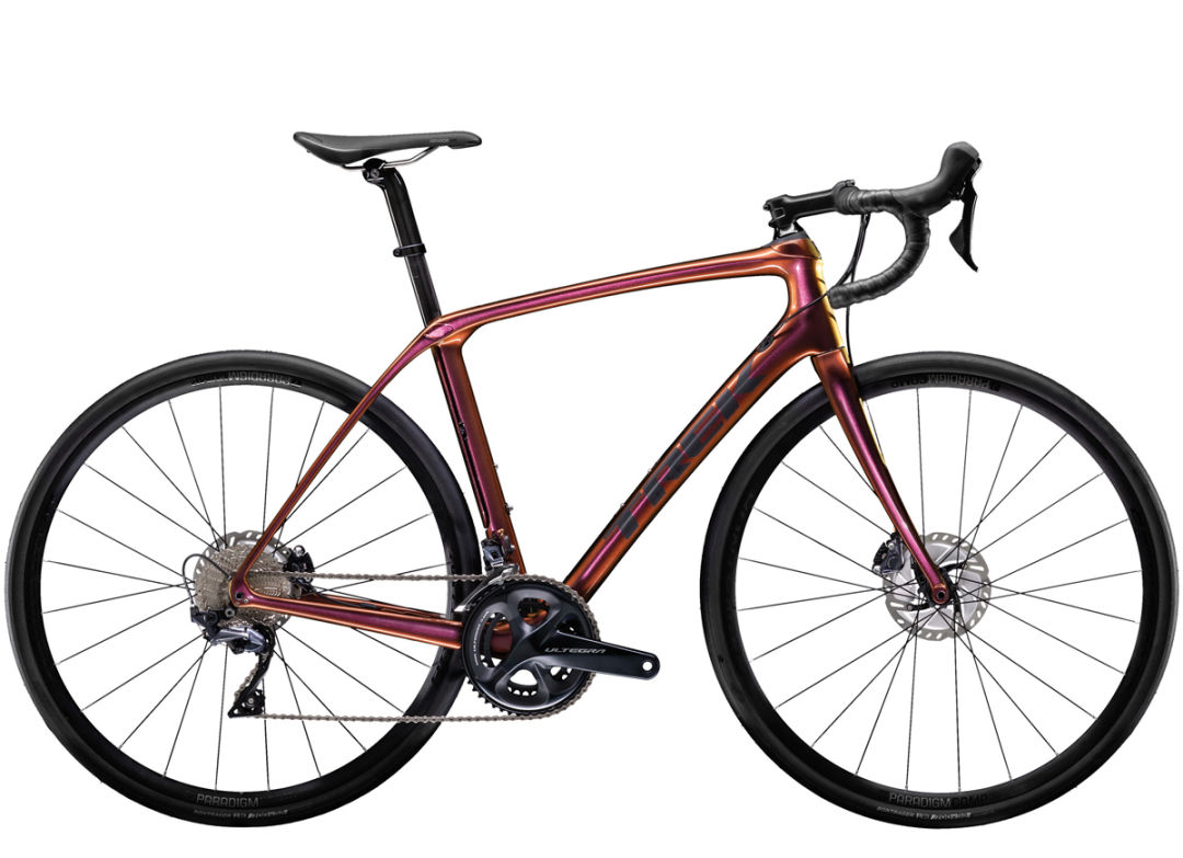
Trek Domane SLR 6 Disc
Bryce Gordon, manager of Hub of Aspen, recommends this all-around bike for Aspen road riding. Built for the long haul, the carbon-fiber frame puts the rider in a more upright position. Plus, the bike runs on wider tires for versatility on both pavement and the occasional stretch of gravel. $5,800 at Hub of Aspen
We Like Bikes
Reach Road Ride Bliss in the Roaring Fork Valley

We Like Bikes
Four Aspen Cyclists That Inspire
We Like Bikes
Alternative Ways to Cycle Around Aspen


Aspen Snapshot
Returning to Barbie’s Dream House

Fun and Games
Aspenites Who’ve Made Their Mark at Winter Olympics

Local Love
Boogie by the Book


At Altitude
An Ecological Haven Gets a $9 Million Makeover

tweet this
A Birding Big Year in a Small Valley

Your Perfect Day
Where to Golf in the Roaring Fork Valley
Fun and Games
Aspenites Who’ve Made Their Mark at Winter Olympics

At Altitude
Bootpackers Share Favorite Highland Bowl Lines

Thrill List
The Ultimate Guide to Aspen Summer Adventures

Bottle Rocket
Colorado as a Hot Wine Destination?


Eat & Drink
Notable Restaurant Newcomers: Winter 2025-26

Restaurant Listings
Aspen Dining Guide

Feature
Dine Super Local in Aspen


Arts & Events
What to See: William H. Macy’s Variety Show at TACAW
At Altitude
An Ecological Haven Gets a $9 Million Makeover

Arts & Events
Envisioning a Bigger Space for Carbondale Clay Center
Arts & Events
Aspen’s Raizado Festival Returns for a Fourth Year
Mark Your Calendar
The Best of the Aspen Summer Scene

style roundup
Saddle Up Like an Aspen Cowgirl

Objects of Desire
20/20 Vision


Feature
Shop Super Local in Aspen

Fashion
Objects of Desire: Max Factor

Objects of Desire
Wild Style


Shelter
Reimagining a Home as Sculpture


rescue remedy
A Skin Care Must: Antedotum's New Face Oil

Bust a move
Aspen Fitness Three Ways

Retreat Yourself
Carbondale Wellness Sanctuary Is the Ultimate Winter Retreat

High Life
A Guide to Aspen's Dispensaries

Aspen Electric
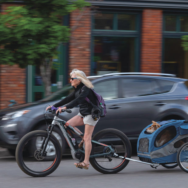
A Guide to e-Biking in the Roaring Fork Valley

Etiquette Tips
E-Biking in the Roaring Fork Valley

A Night to Inspire
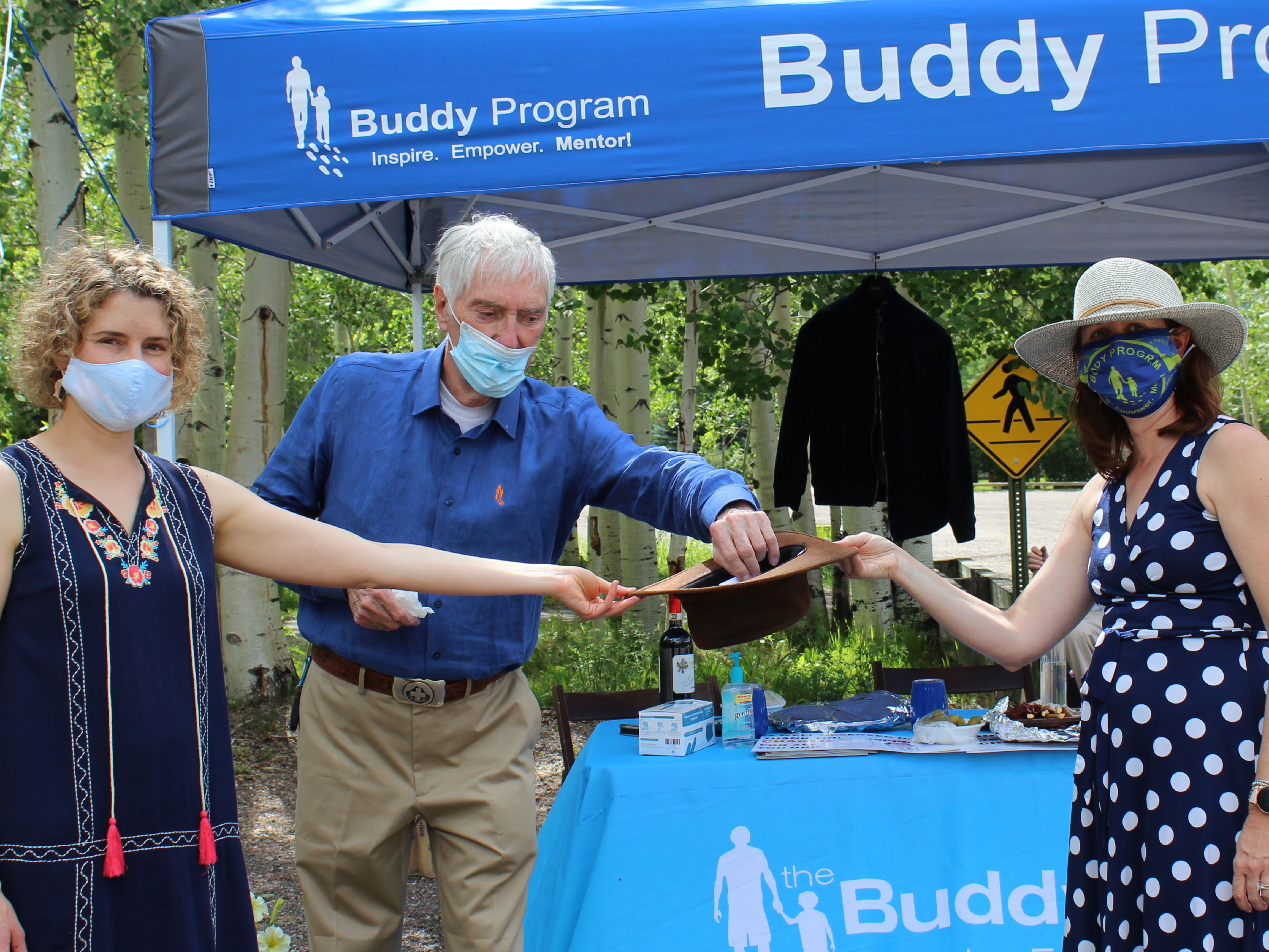
Ascendigo Blue Aspen 2020

People + Places
Pictures from the Winter Season’s Hottest Social Events

People + Places
Winter Fun Recap 2023-2024 Edition

People & Places
ASPENX Beach Club with Gray Malin

People & Places