4 Ways to Ascend a Mountain Pass
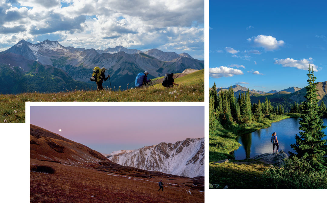
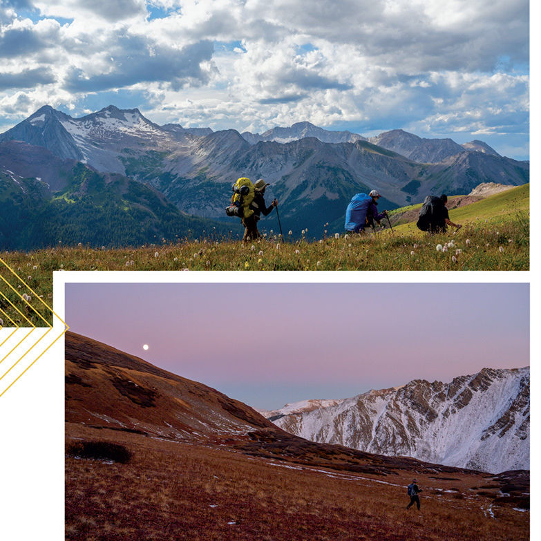
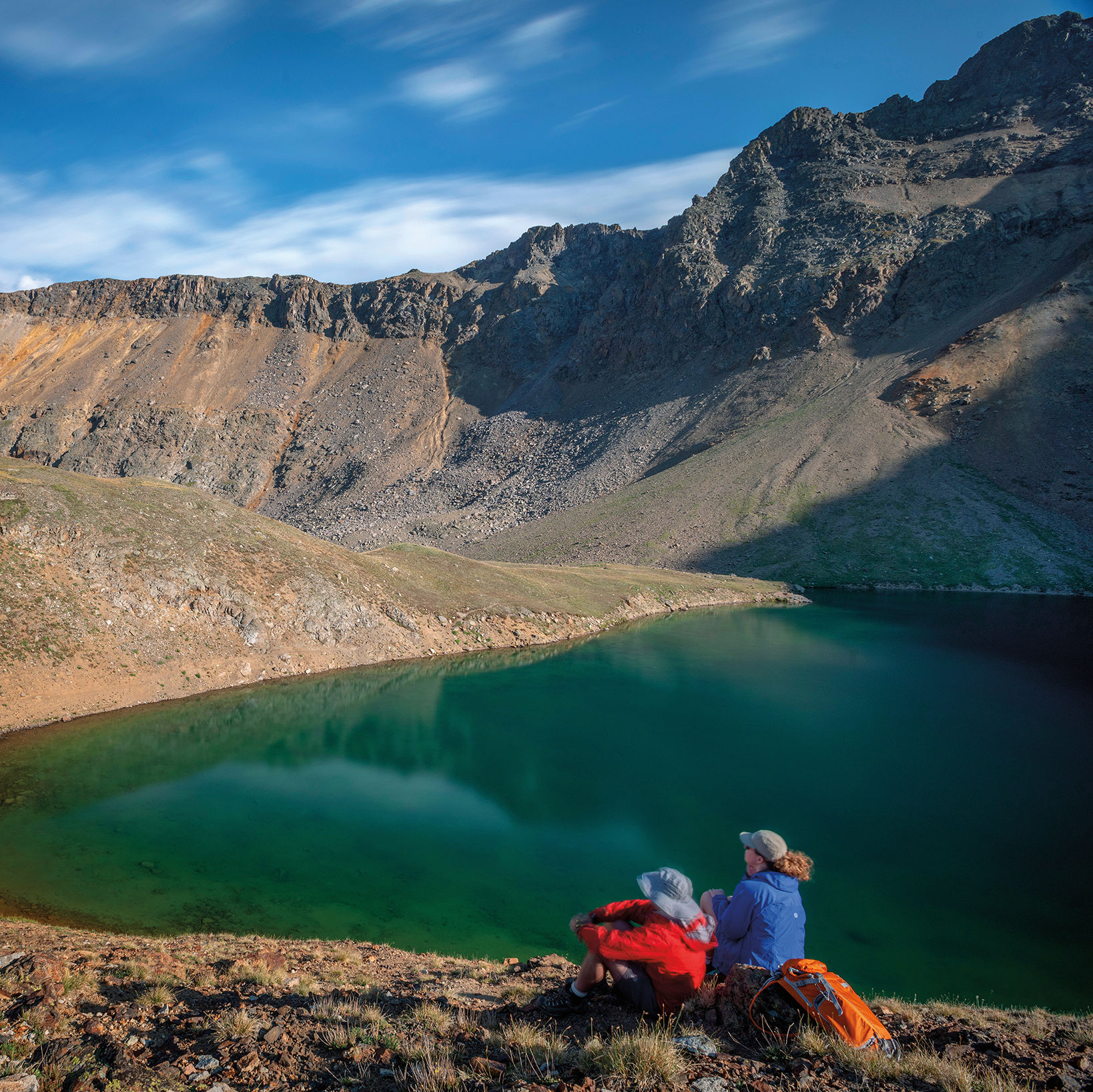
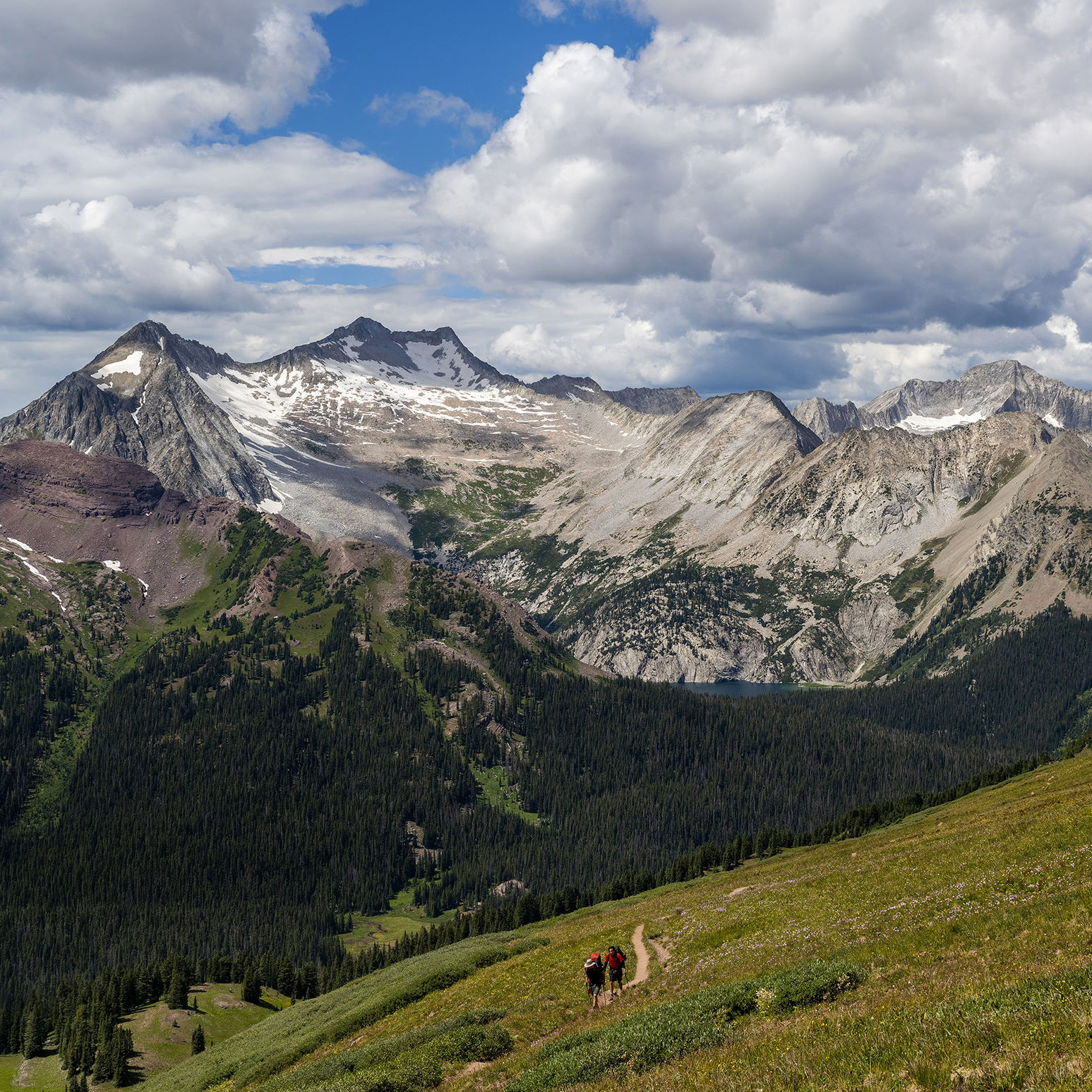
Clockwise from top left: Buckskin Pass; a pond on the way to Midway Pass; Electric Pass
BUCKSKIN
From the start of the route at Maroon Lake to the top of the pass at 12,462 feet, you’ll be so enamored of the stunning surroundings that you may forget about the effort required to get there (almost 3,000 feet of elevation gain). After the turnoff near Crater Lake, the trail passes through quaking aspen stands and subalpine fir as it ascends Minnehaha Gulch, then breaks out into tundra dotted with wildflowers before steeply switchbacking to the top. En route, enjoy the vantage point into the glacially carved Maroon Creek Valley, and watch for mountain goats clattering on the red ribs of North Maroon Peak. From the pass, you’ll have a vista of Snowmass Lake, several fourteeners, and the West Elks beyond.
Length: 9.6 miles round-trip
Difficulty: Strenuous
Trailhead: See East Maroon entry below; go all the way to Maroon Lake.
Good to know: Buckskin is part of the renowned Four Pass Loop, which most hikers complete in three to four days, though some well-conditioned trail runners tackle it in one (long) day.
EAST MAROON
(OVERNIGHT IN CRESTED BUTTE)
With its gentle grade and beckoning views, the route over East Maroon Pass is five miles longer but much less trafficked than the standard West Maroon Pass route to Crested Butte. The East Maroon Trail follows an old roadbed through meadows and aspen groves for several miles before emerging in a glacial valley on the lesser-seen side of Pyramid Peak. Once you cross the pass at 11,835 feet, you’ll descend to Crested Butte on the Copper Creek Trail, passing beautiful Copper Lake and Judd Falls.
Length: 16 miles one way
Difficulty: Moderate to strenuous
Trailhead: Between 8 a.m. and 5 p.m., you must ride the bus up Maroon Creek Road (ask to be let off at the East Maroon Portal), and advance reservations are required this summer. Outside of those times, you’ll need reservations to park your car at the trailhead, 6.5 miles up Maroon Creek Road. Find all info through the Aspen Chamber Resort Association.
Good to know: Reserve space on one of the private shuttles that ferry hikers into Crested Butte, or catch the public Gothic bus, which makes four round trips daily to the trailhead.
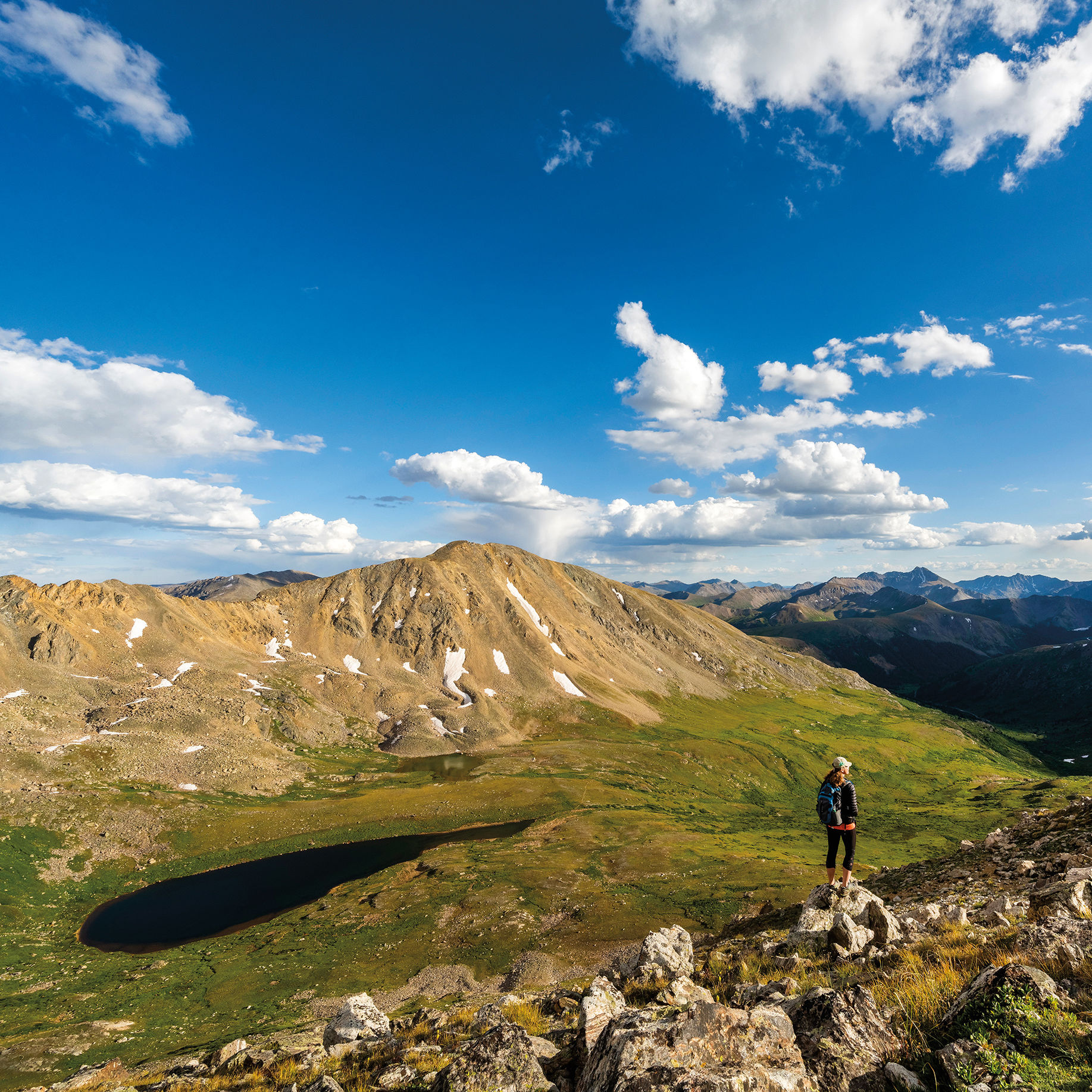
ELECTRIC
At 13,500 feet, this is Colorado’s highest trail pass. The distinction also means it’s especially prone to lightning strikes (hence the name). A challenging add-on to the Cathedral Lake hike, the trail traverses the flower-laden tundra above the lake before crossing onto the talus-strewn shoulder of Leahy Peak. The pass is a barren high point above the Conundrum Creek Valley that offers stunning views of Pyramid Peak, the Maroon Bells, and Snowmass Mountain—well worth the 3,600-foot elevation gain.
Length: 9.2 miles round-trip
Difficulty: Strenuous
Trailhead: Drive Castle Creek Road from the Aspen roundabout for 12.2 miles (you’ll pass the ghost town of Ashcroft) to the trailhead turnoff on the right.
Good to know: Start hiking early in the day to avoid being on the pass during afternoon thunderstorms.
MIDWAY
A slightly shorter and less-frequented alternative to the popular Lost Man Loop, this often-overlooked half-day hike begins at the same trailhead. After switchbacking steadily through dense, sweetly scented spruce forest, the trail gives way to trembling columbine clusters, thick paintbrush, and subalpine fir. Before long, you’ll reach the tundra and get sweeping views of Independence Pass and beyond. Climb gently past some small, marshy ponds, then descend slightly to a low point in the ridgeline at 11,840 feet. From here, gaze toward the Hunter Creek Valley before turning around.
Length: 7.8 miles round-trip
Difficulty: Moderate
Trailhead: Drive 14 miles east from Aspen on Highway 82; park at the Lost Man trailhead on the left.
Good to know: The pass itself isn’t actually the hike’s high point; that comes 3 miles in at 12,120 feet.