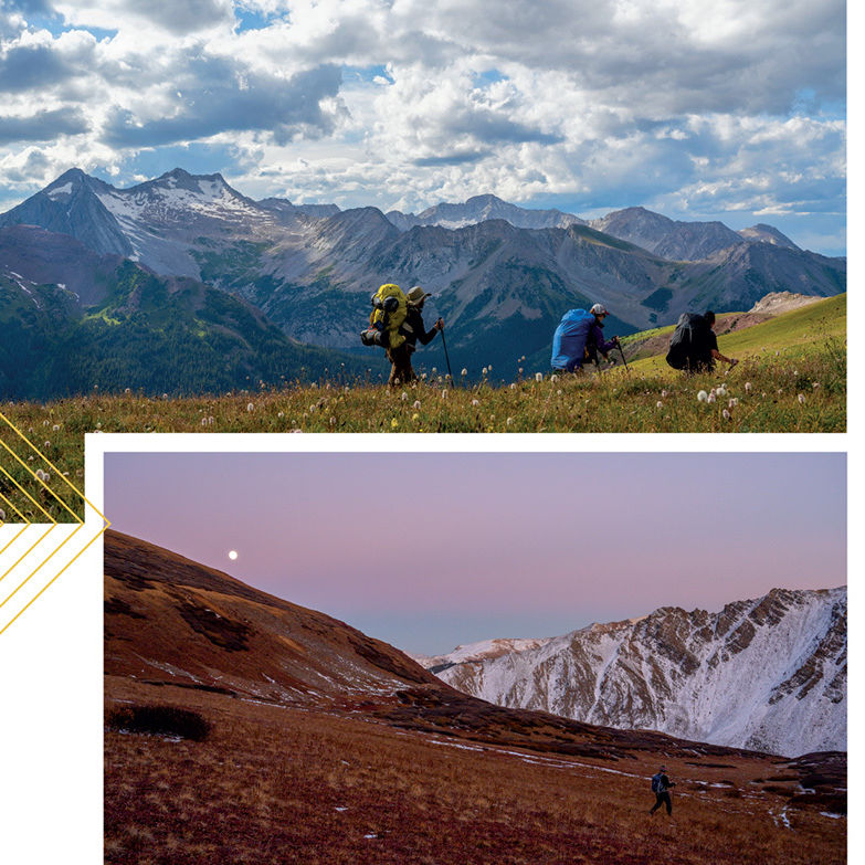
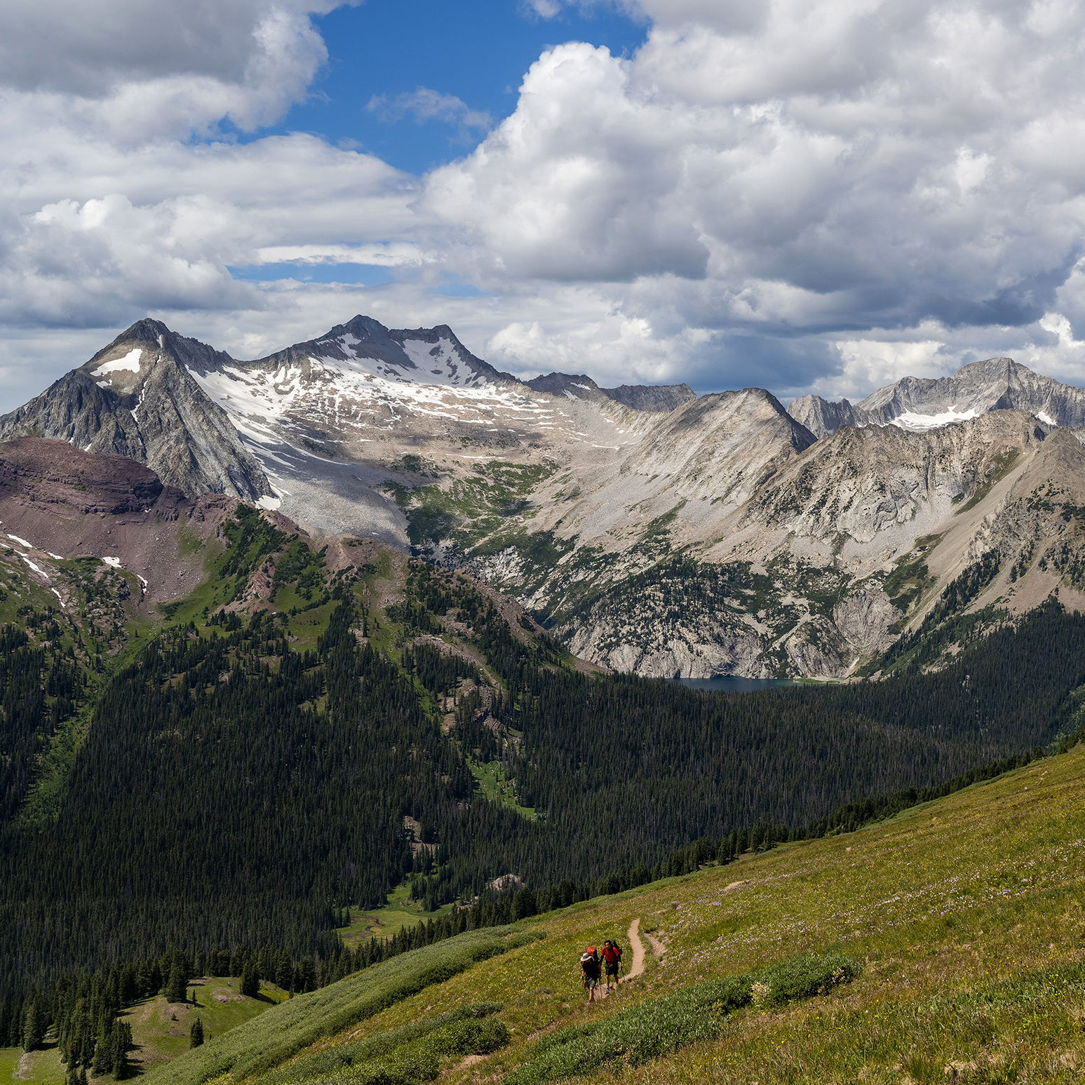
Hike to a High-Mountain Lake
LYLE/MORMON
The adventure of hiking to this pair of lakes begins with getting there, as you’ll travel far up the Fryingpan Valley, then drive a dirt road along an old railroad grade bordered by a steep drop-off into the valley below. The trail itself ascends gently along Lyle Creek into the Holy Cross Wilderness. Rosy paintbrush and marsh marigold sprout along the way. At Lyle Lake, stop for a snack or cast for trout, then continue on a well-worn trail to looker’s right of the lake. An easy descent takes you to the shoreline of Mormon Lake, a glittering tarn nestled in the tundra.
Length: 3.3 miles round-trip to Lyle; 5.3 miles round-trip to Mormon
Difficulty: Moderate
Trailhead: Drive 33 miles from downtown Basalt up Frying Pan Road until the pavement ends. Bear left and drive along the dirt road 10 miles to a sign for Hagerman Pass; turn left. The trailhead is just ahead on the left.
Good to know: The last several miles of road can be rough but are navigable by most passenger cars.
WILLIAMS
The hike initially travels through spruce forest, climbing for about a mile before a turnoff to the right takes you down to a stream. As you climb the last rocky bit of trail to the lake, enjoy the serenade of creek water tumbling past and bird calls enlivening the otherwise quiet forest. Columbines and purple asters sway alongside the trail. Ringed by a red rock cirque, the teal waters of Williams Lake offer an inviting spot to rest or fish— or perhaps even sing.
Length: 4.5 miles round-trip
Difficulty: Moderate
Trailhead: See Capitol Creek/Capitol Ditch; continue farther to the Hell Roaring Trailhead.
Good to know: It’s said that John Denver wrote “Rocky Mountain High” while resting on the shores of this small, tucked-away lake, and a journey here makes it obvious why.
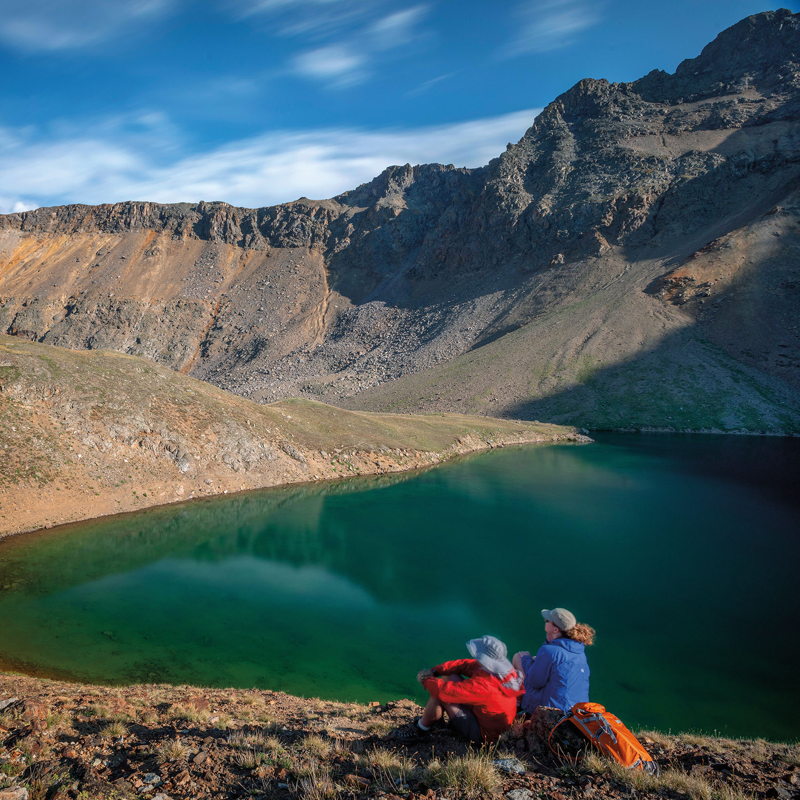
WILLOW (OVERNIGHT)
To experience the splendor of the Maroon Creek Valley without the crowds, it’s tough to beat an overnight backpack to Willow Lake, a secluded tarn at the head of the Willow Creek Valley. From where the route splits off the Buckskin Pass Trail, at around 12,000 feet, you’ll feel like you’ve entered a hidden red rock kingdom. Listen for the clatter of mountain goat hooves on the steep mountainsides around you. The trail wanders through a high-alpine basin checkered with rosy paintbrush before climbing steeply to Willow Pass. From there you’ll spot your destination: a soft, rolling basin flanked by rocky slopes and dotted with shimmering lakes. The largest of the lakes, tucked in the basin’s southeast corner, is your resting spot for the night.
Length: 12.4 miles round-trip
Difficulty: Strenuous
Trailhead: See East Maroon; go all the way to Maroon Lake.
Good to know: For variety, return via the East Snowmass Trail, a sturdy 8.5-mile hike out; you’ll need to set up a car shuttle.
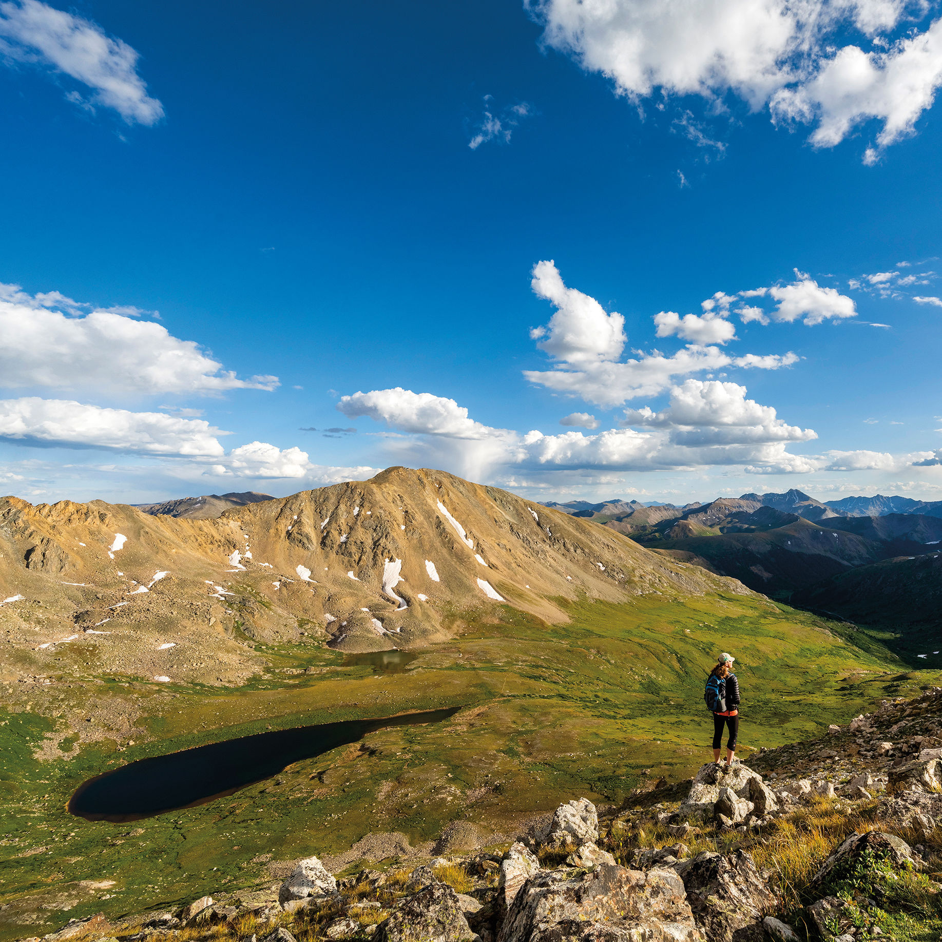
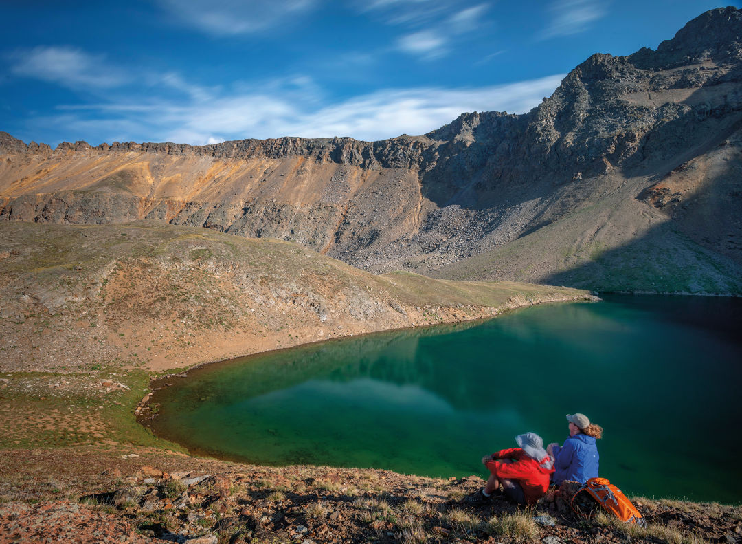
GRIZZLY
Situated in a high-alpine basin with the toothy summit of 13,988-foot Grizzly Peak towering above, this gem is not to be missed. The trail begins at 10,560 feet and winds through subalpine spruce to a high valley flush with wildflower-studded meadows. The jagged summits and ridges of the Collegiate Peaks Wilderness rise as you ascend to a broad shelf covered with scrubby, gnarled krummholz. One final, long switchback leads you to the rocky lakeshore, where turquoise waters lap.
Length: 7.2 miles round-trip
Difficulty: Moderate
Trailhead: Drive 11 miles east of Aspen to Lincoln Creek Road and turn right. Continue for 6.1 miles to the trailhead on the left just after Grizzly Reservoir.
Good to know: Lincoln Creek Road, though not 4WD, requires a high-clearance vehicle.