Hike a 13er: East Geissler Mountain
East Geissler Mountain and Lost Man Pass
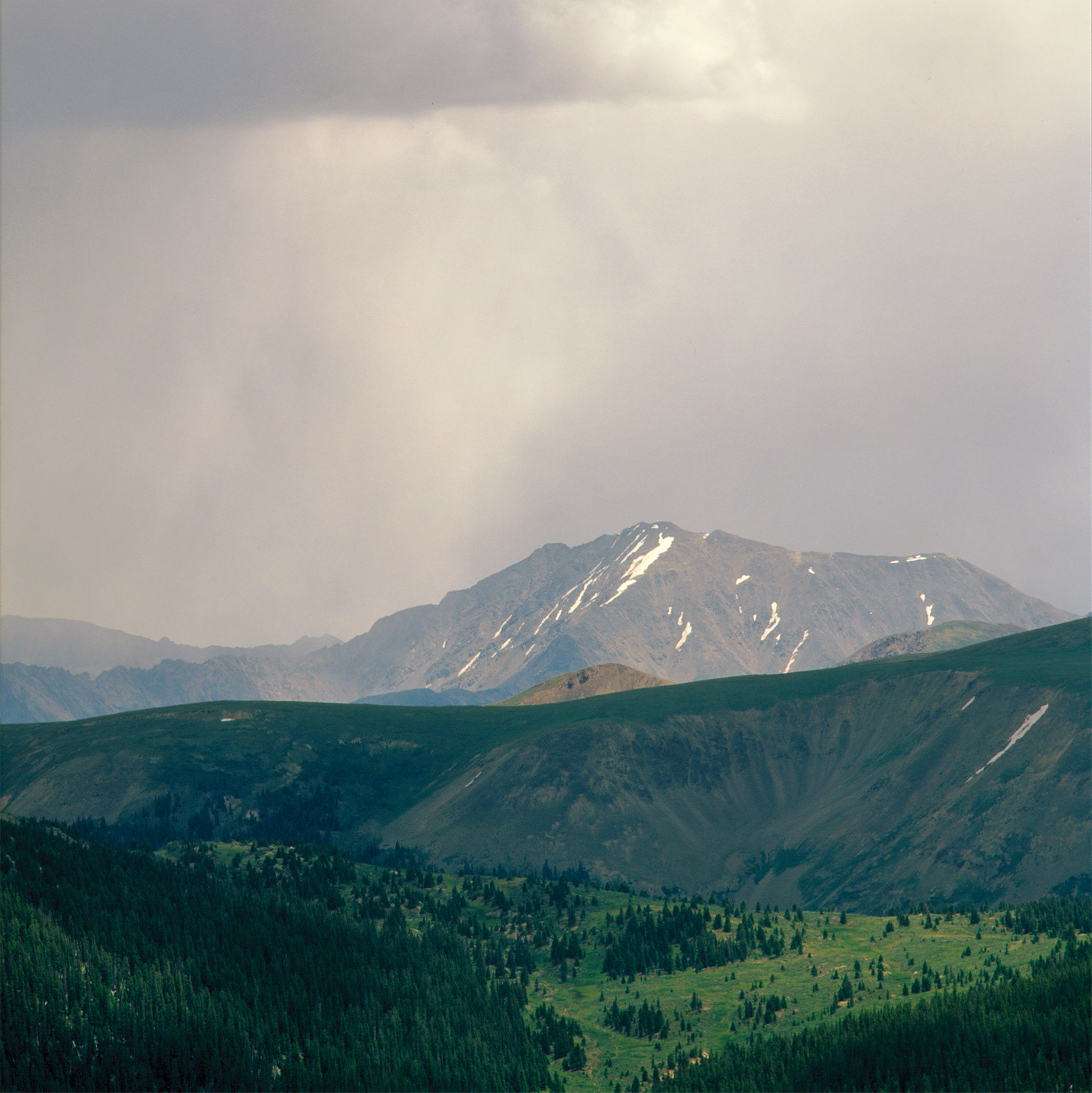
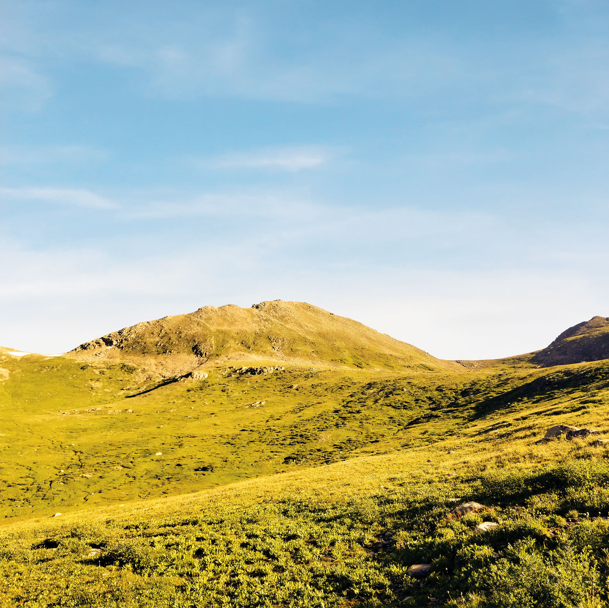
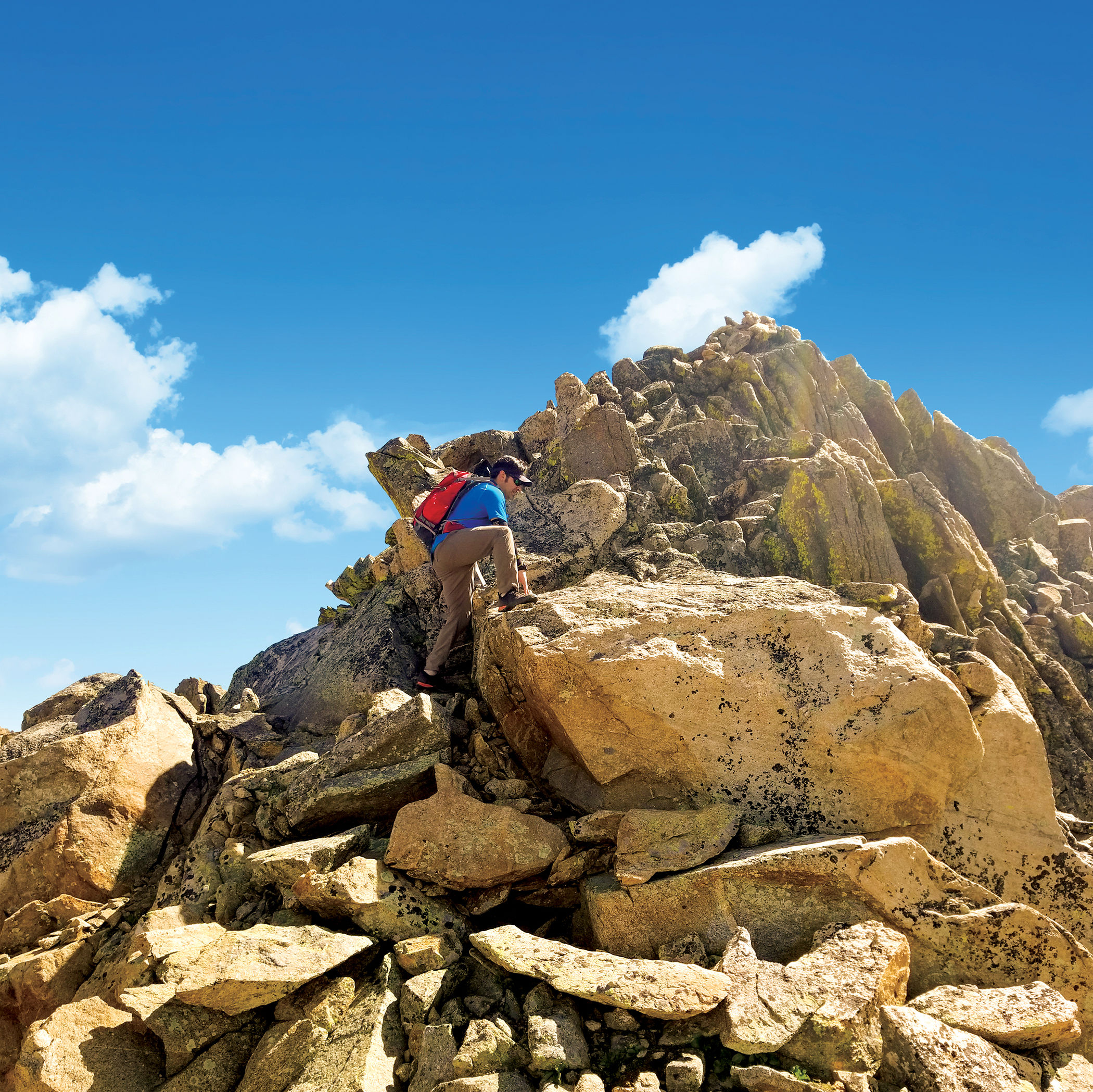
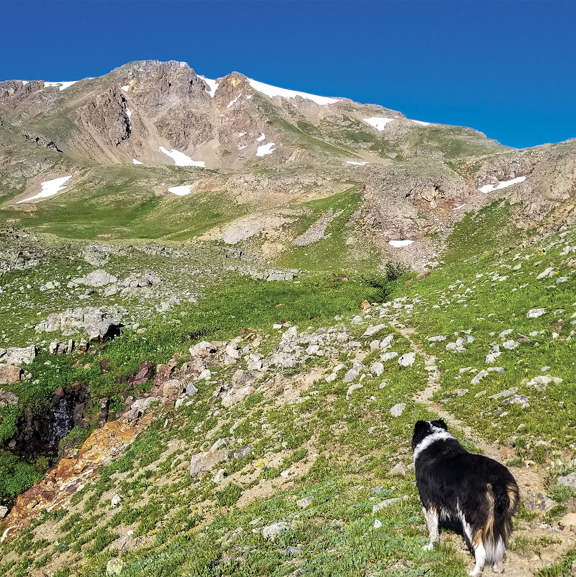
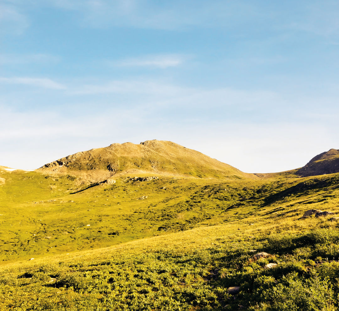
Image: James Dziezynski
ELEVATION | 13,380 ft
DIFFICULTY | Moderate
DISTANCE | 5.0 miles out-and-back
ELEVATION GAIN | 1,730 ft
ACCESS | Upper Lost Man Trailhead. Drive 18.5 miles east from Aspen on Highway 82; park in the area just left of the big switchback.
This relatively short summit hike packs a full day’s worth of scenery into a compact outing. It is also the easiest of the 13ers on this list, courtesy of the well-worn trail to Lost Man Pass.
From the trailhead, take the Lost Man Loop Trail 2.1 miles as it climbs through willows and wildflowers up to open tundra around the sparkling shores of Independence Lake. Continue along the trail to the high saddle of Lost Man Pass, where you will catch a glimpse of the even-more-spectacular Lost Man Lake below.
Hop off the trail to the west and scramble up a short but steep Class 2 ridge to the summit of East Geissler Mountain. This is the highest peak of Geissler massif’s trio of summits, which curve south from here. Views are understandably amazing from this lofty perch, especially to the Williams Mountain Range to the west. To return, simply retrace your steps back to Lost Man Pass and the trail back to the parking area.