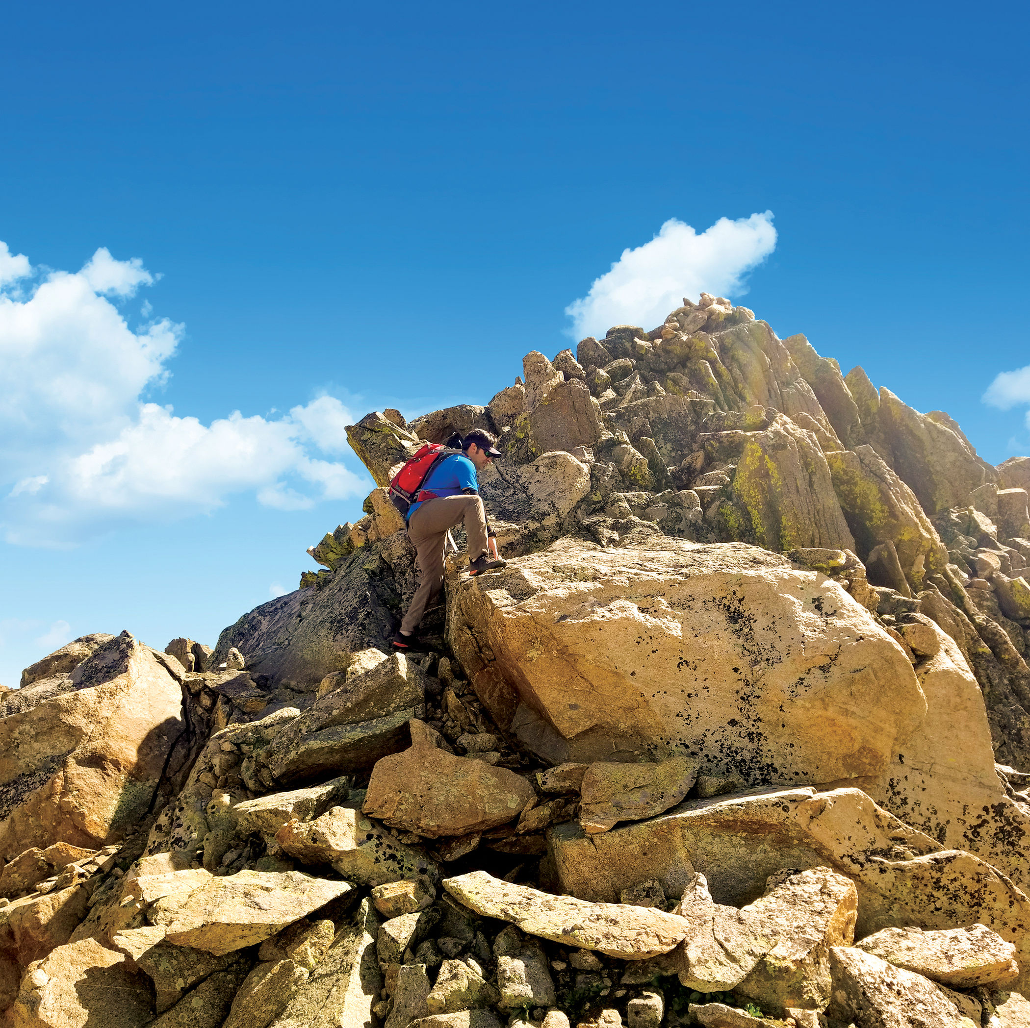
Hike a 13er: UN 13,001 "Lost Man Lake Peak"
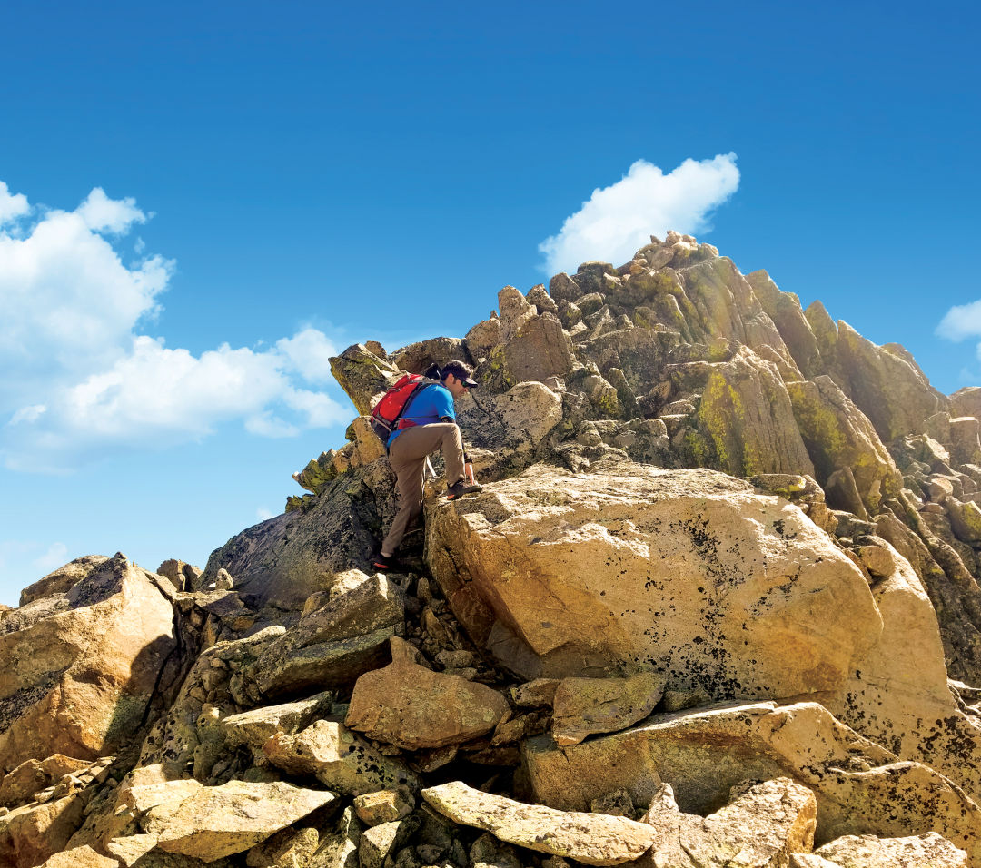
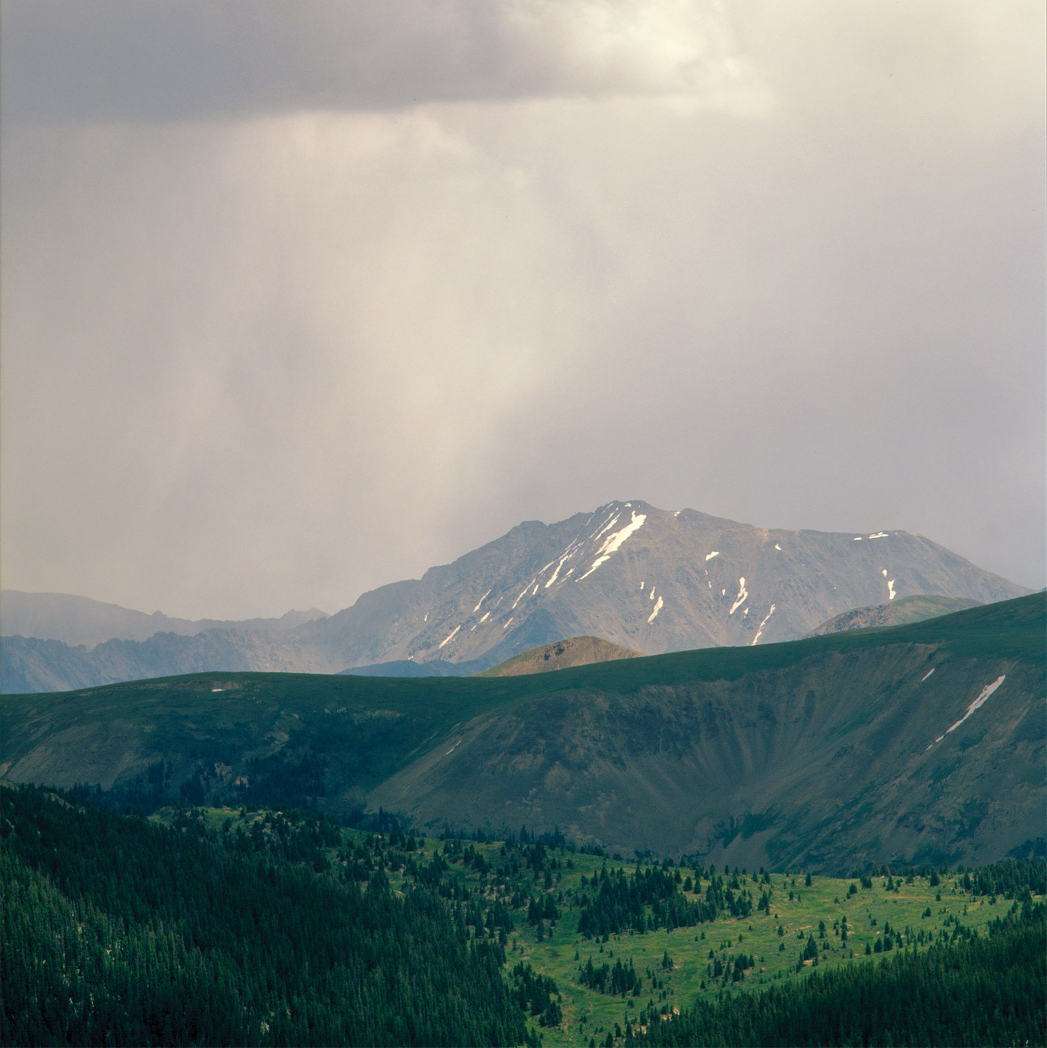
UN 13,001's summit ridge
Image: Sheila Dziezynski
ELEVATION | 13,001 ft
DIFFICULTY | Hard
DISTANCE | 7.0 miles out-and-back
ELEVATION GAIN | 1,940 ft
ACCESS | Upper Lost Man Trailhead. Drive 18.5 miles east from Aspen on Highway 82; park in the area just left of the big switchback.
UN 13,001 is the designation for this unnamed peak, though locals sometimes call it Lost Man Lake Peak. It holds the distinction of being Colorado’s lowest ranked 13er, meaning it is a true mountain and not a subordinate peak of a higher summit. Interestingly, Colorado’s highest ranked 13er, Grizzly Peak A (13,988 feet), is “just across the street,” a bit farther south of Independence Pass.
The mountain shares the same trailhead as the East Geissler hike and begins along the same trail. Take the Lost Man Loop trail to Lost Man Pass, but now continue down to Lost Man Lake. UN 13,001’s inviting ridge and summit are clear as you look northeast of the pass. Leave the trail to the northeast of the inky, dark waters of Lost Man Lake and scramble up a slope to gain the ridge. From here, you’ll need to practice good route finding to dial in the best Class 2 and Class 3 moves. It’s not long—under a mile—but the way up isn’t always obvious. At a headwall mid-route, detour right (east) along an initially counterintuitive path that ends up nicely weaving back to the ridge and eventually to the summit. To descend, either revisit the ridge or hike off the steep south slopes (Class 2) back to the trail to Lost Man Lake and the trailhead.