On Loop Hikes, New Vistas Unfold the Whole Way
Along the Capitol Ditch Trail (also known as the Upper Capitol Creek Trail)
CAPITOL CREEK/CAPITOL DITCH (A.K.A. UPPER CAPITOL CREEK TRAIL)
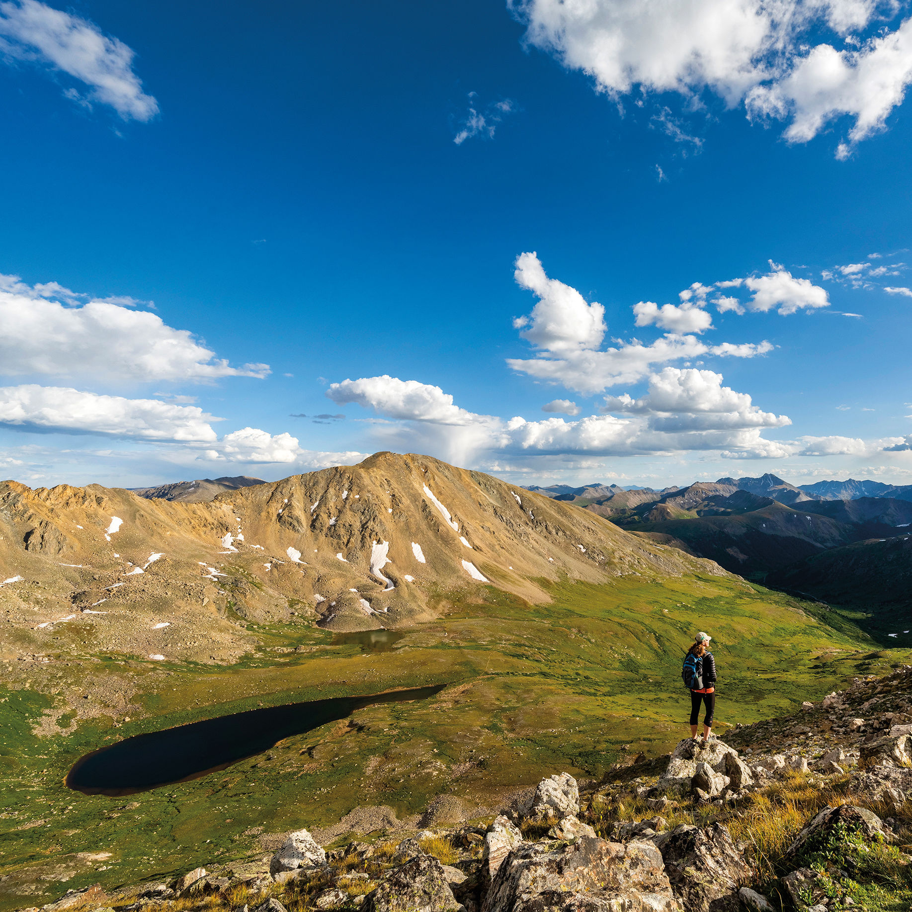
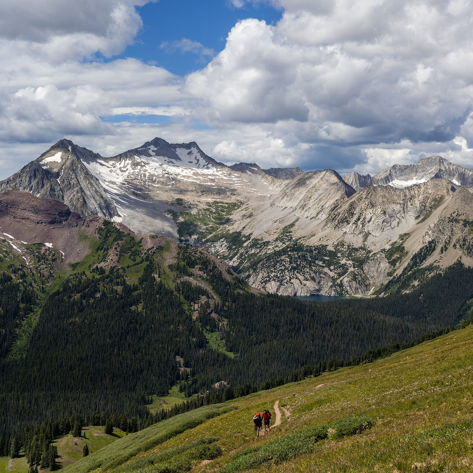
At the start of this hike up the spectacular Capitol Creek Valley, you’ll face a decision: Opt for the ditch trail and you’ll parallel a high irrigation waterway, then gently climb through peaceful aspen groves before reaching high grassy meadows. Or choose the trail that descends steeply to the creek, then follows it along the valley floor while offering massive views of Mount Daly and of Capitol Peak’s commanding knife-edge ridge. Either way, the choice is right for this sweet, scenic passage into the Maroon Bells–Snowmass Wilderness. The two trails meet up at the turnoff to popular Capitol Lake (4-plus miles away).
Length: 6.5 miles
Difficulty: Moderate
Trailhead: Drive 14 miles west from Aspen on Highway 82 to Snowmass Creek Road. Turn left. At the T intersection 2 miles in, go right, and follow Capitol Creek Road for about 8 miles to the parking area. The last mile of road requires high clearance and 4WD; you can park a passenger car in a lot 2.25 miles below the trailhead.
Good to know: The parking area fills up early, especially on weekends, as many climbers backpack from there to the lake for an attempt on 14,130-foot Capitol Peak.
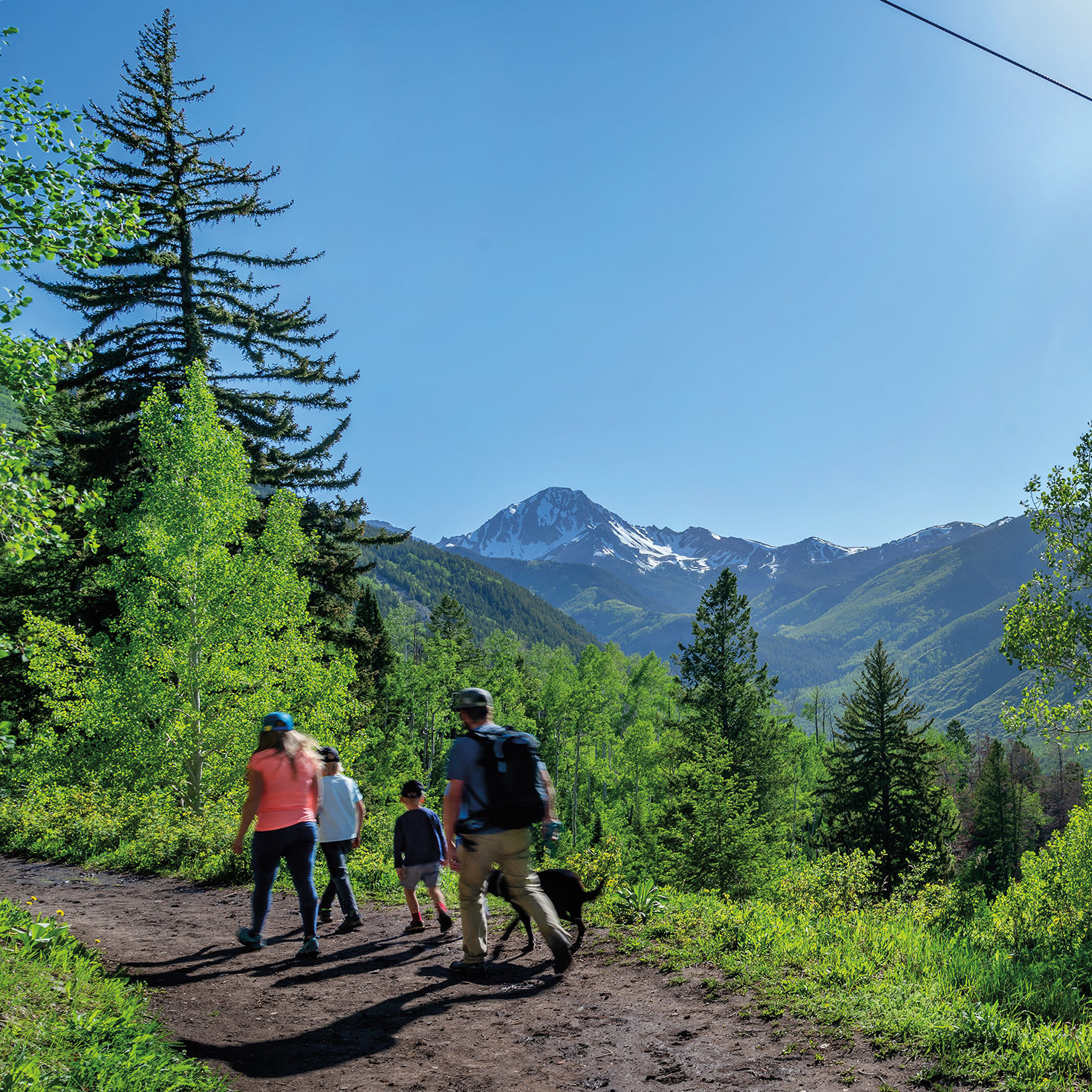
SMUGGLER MOUNTAIN/HUNTER CREEK
An easily accessible jaunt from the edge of town, this loop is an Aspen classic that provides views, meadows, a rushing creek, and the feeling of being much farther away from civilization than you are. Hike up the well-traveled Smuggler Mountain Jeep road to the observation platform, take in the panorama of Aspen, then follow the Hunter Creek Cutoff Trail down to the valley floor. A left on the Hunter Valley Trail eventually brings you to Benedict Bridge. Head down the boulder-strewn lower Hunter Creek Trail, immediately left after the bridge, and you’ll be treated to sweeping views of all four ski mountains and beyond. Exit by the Hunter Creek condos, a short walk from the base of Smuggler.
Length: 4.8 miles
Difficulty: Moderate
Trailhead: Access Smuggler from Park Circle; there are two small parking areas.
Good to know: You don’t need a car. Ride the Hunter Creek bus to the Centennial stop near Smuggler, then pick it up by the condos for your return. Or ride a WE-cycle bike and dock it near the base of Smuggler.
AVALANCHE PASS/SILVER PASS (OVERNIGHT)
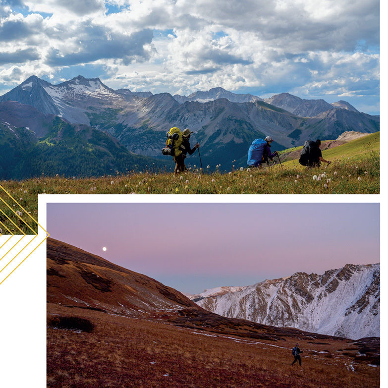
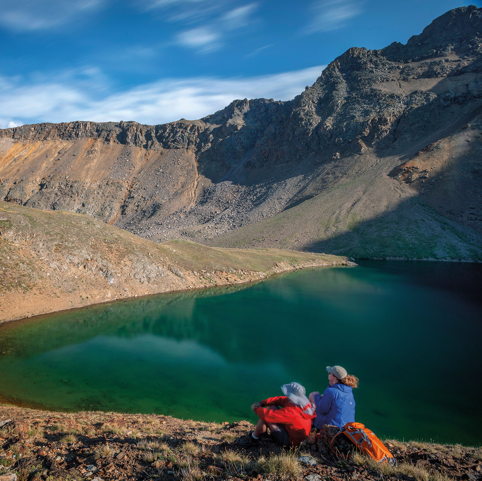
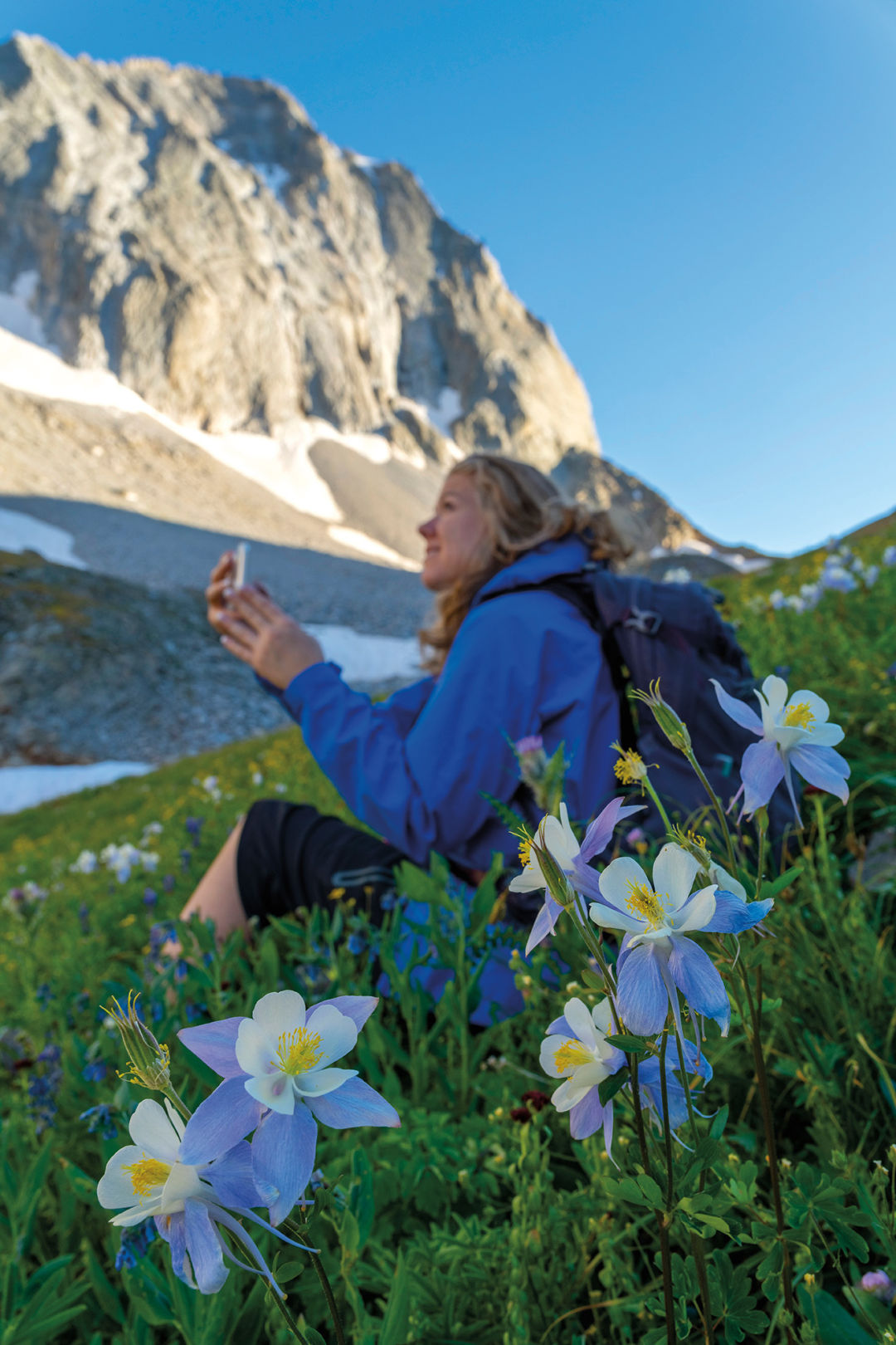
With such plentiful access to the Maroon Bells–Snowmass Wilderness near Aspen, it’s easy to forget there are other entry points. North Lost Trail, east of Marble, is one such place. For intrepid backpackers comfortable with route finding, a stunning loop starts here, heads over Avalanche Pass, descends to the West Fork of Avalanche Creek, and finishes up on the Avalanche Silver Creek Trail, with a final push over Silver Pass and down a wildflower-carpeted meadow. Trail markings are few, but the sky-scraping views of Capitol Peak are plentiful.
Length: About 17 miles
Difficulty: Strenuous
Trailhead: From Carbondale, drive Highway 133 for 25 miles to the left turnoff for County Road 3 to Marble. Drive through town to Beaver Lake. One mile past the lake, stay left on Forest Road 315 toward Lead King Basin (high clearance required); look for the trailhead shortly after on the left by the first notable stream crossing.
Good to know: Once back in Marble, treat yourself to a well-deserved meal at Slow Groovin’ BBQ.